High Ground / Why the road is where it is
The highest ground east of the Mississippi
Mount Mitchell rises to 6,684 feet and the spur road to it leaves the Parkway near milepost 355, in a spruce-fir forest unlike anything below.

The summit trail on Mount Mitchell. The fir here is Fraser fir, which grows nowhere outside the southern Appalachians.
Photo: Mount Mitchell Summit Trail (March 2023) · Wikimedia CommonsA summit the road almost touches
The number is not in dispute: at 6,684 feet above sea level, Mount Mitchell is the highest point in the Appalachian chain and the highest ground anywhere east of the Mississippi River. The Parkway does not climb it — the road is a designed thing, held to gradients and curves that keep it flowing — but near milepost 355 a spur breaks away and rises through the last few hundred feet of elevation to a state park that has sat on the summit since 1915, making it the oldest state park in North Carolina.
The relationship between the Parkway and the mountain is one of proximity and restraint. The road comes close enough to place the summit within reach, then stops. What it offers instead is the approach: a long traverse through the Black Mountains at an altitude most American roads never touch, in forest cover that has no equivalent on anything lower. Drivers who have spent hours in the oak and hickory of the lower slopes arrive here into a different world, and the shift happens fast enough to be disorienting.
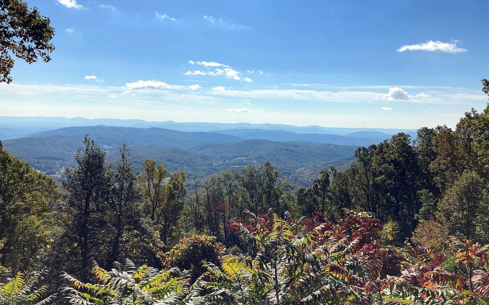
Stoney Fork Overlook. Holding the crest meant cutting benches into slopes a valley road would have avoided entirely.
Photo: Blue Ridge Parkway October 2022 1 (Stoney Fork Overlook) · Wikimedia CommonsWhat grows here and why
The spruce-fir forest that covers the upper Black Mountains is not a continuation of anything the Parkway has passed through on its way south from Rockfish Gap. It is a relic, a community of red spruce (Picea rubens) and Fraser fir (Abies fraseri) that survived the last ice age on the high peaks of the southern Appalachians when it retreated north everywhere else. The ecology is closer to the boreal forests of New England or eastern Canada than to the hardwood coves a few hundred feet below. The air is cooler and wetter, the ground is padded with mosses, and the trees are narrow and dark in a way that reads as northern even to people who have never seen the north.
Fraser fir is named for the Scottish botanist John Fraser, who collected specimens here in the late eighteenth century. The species grows almost nowhere else in the world — a handful of high peaks in the southern Appalachians, and nothing below about 5,500 feet. For decades, the standing dead trees on these summits have been one of the most visible ecological stories on the whole Parkway: the balsam woolly adelgid, an introduced insect, reached the southern Appalachians in the mid-twentieth century and has killed the majority of mature Fraser firs ↗ across the range. The grey snags still stand on the ridgelines, and though younger firs are regenerating beneath them, the canopy on these heights carries a permanent record of the damage.
The spruce-fir zone is also the habitat of the Carolina northern flying squirrel, a federally listed endangered subspecies, and of the spruce-fir moss spider, one of the rarest spiders in North America. Neither is something a driver is likely to see. But the specificity of the ecology — the sense that this summit supports life that exists nowhere at lower elevation — is part of what makes the upper reach of the milepost 355 spur feel genuinely remote, even arriving by road.
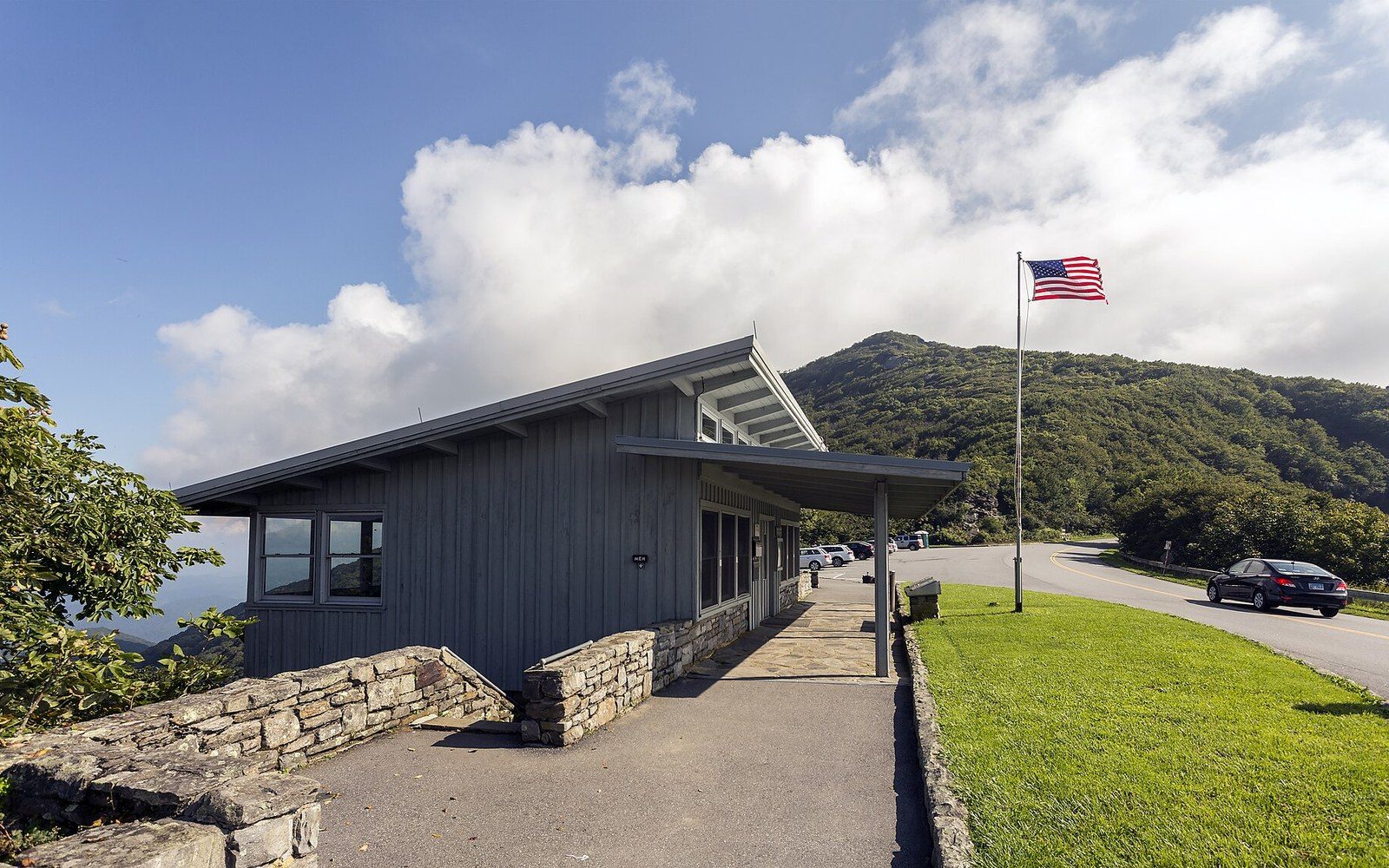
Craggy Gardens, milepost 364. The visitor centre sits on the shoulder of a bald nobody has satisfactorily explained.
Photo: Craggy Gardens NC1 · Wikimedia CommonsElisha Mitchell and the argument about altitude
The mountain carries a name with a history. Elisha Mitchell was a professor at the University of North Carolina who made several expeditions to measure the Black Mountains in the 1830s and 1840s, arguing that the massif was higher than Grandfather Mountain, which had a prior claim. The dispute became a public one, with Thomas Lanier Clingman — a politician and amateur scientist — contesting Mitchell's measurements and the credit for them. Mitchell returned to the mountain in 1857 to re-verify his figures and died in a fall near a waterfall that now also bears his name. He is buried on the summit. The state of North Carolina confirmed the peak's primacy ↗ and named it in his honour, and the grave has been a feature of the summit since his reburial there in 1858.
The measurement question was not finally settled by instruments of the nineteenth century. The current official elevation of 6,684 feet is attributed to surveys conducted with modern equipment; earlier figures varied by small amounts depending on the method and the surveyor. What did not vary was the basic fact: this is the high point of the eastern United States, and every subsequent measurement has confirmed rather than displaced Mitchell's essential claim.
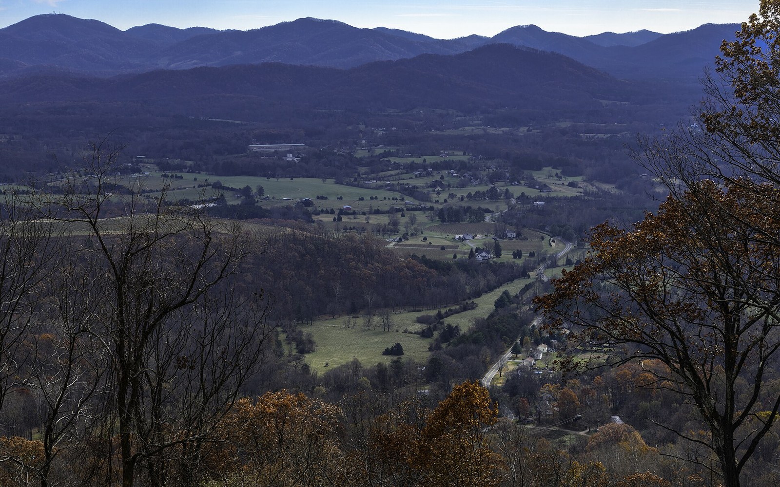
The saddle at Rockfish Gap, looking south. The route crosses the ridge at low points like this one, which is also where the older roads already were.
Photo: Rockfish Gap Scenic Overlook, I-64 East looking south 4 LR · Wikimedia CommonsThe road's relationship with the mountain
The Parkway traverses the Black Mountains on what the National Park Service designates the Black Mountain section, a stretch of road that sits between roughly mileposts 344 and 360 and represents some of the highest sustained Parkway elevation anywhere on the 469-mile route. The road itself stays well below 6,000 feet in this section. At Richland Balsam, near milepost 431 farther south, the Parkway crests at 6,053 feet — its own highest point — but the Black Mountain section is the place where the surrounding terrain is consistently, massively high, and where the views extend across a landscape of ridges that are themselves taller than anything in the northeastern states.
The spur to the summit is not part of the Parkway's own design vocabulary. It is a North Carolina state road climbing to a state park, and it operates under different rules — there is a gate, there are posted times, and the summit has infrastructure the Parkway itself deliberately excludes. The Parkway's design philosophy, which keeps commerce and facilities to a minimum and relies on the road itself as the experience, gives way at the junction to something more conventional. That is the trade: the Parkway brings you to the edge of the thing, and another system takes you the last distance.
What the Parkway does, in this section, is give sustained time in the spruce-fir belt. The road moves through it slowly — the design speed of 45 miles per hour, enforced by the geometry of the curves as much as by any sign — and the forest closes to the verge in a way that concentrates attention. The transitions matter on the Parkway, and this one, from the deciduous cover below to the dark conifers above, is among the most pronounced on the whole route. Drivers who know what they are looking at understand that the change in tree species is a change in climate and altitude made visible: the forest is reading the same contour lines the Parkway is following.
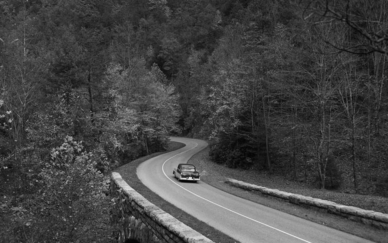
Dry-laid stone at the Humpback Rocks farm museum. Parkway masonry was specified to look older than the road it belongs to.
Photo: BLRI 58-JB-1055 · Wikimedia Commons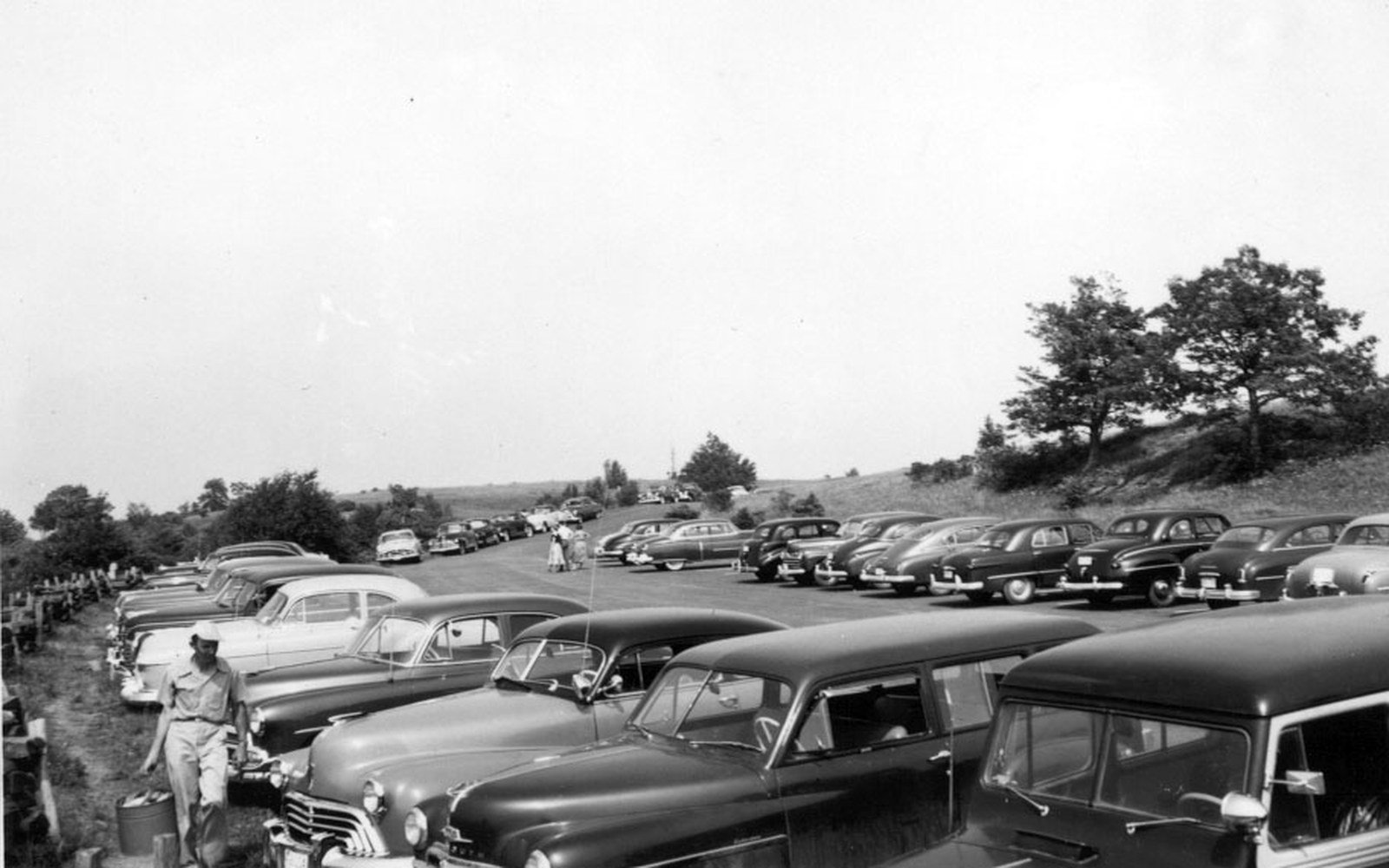
The Bluffs, in Doughton Park. Nothing may be sold within sight of this shoulder.
Photo: Parking Lot at Bluffs Picnic Area (22dd3275-b2b6-d95e-3fad-798bd175b0c8) · Wikimedia CommonsThe summit is where the road's logic ends and geology takes over. Six thousand, six hundred and eighty-four feet, and nothing higher for a thousand miles in any direction.
More in High Ground