High Ground / Why the road is where it is
Where the road crosses over
The route uses gaps in the ridge line, and the gaps are also where the older roads and the settlements already were.
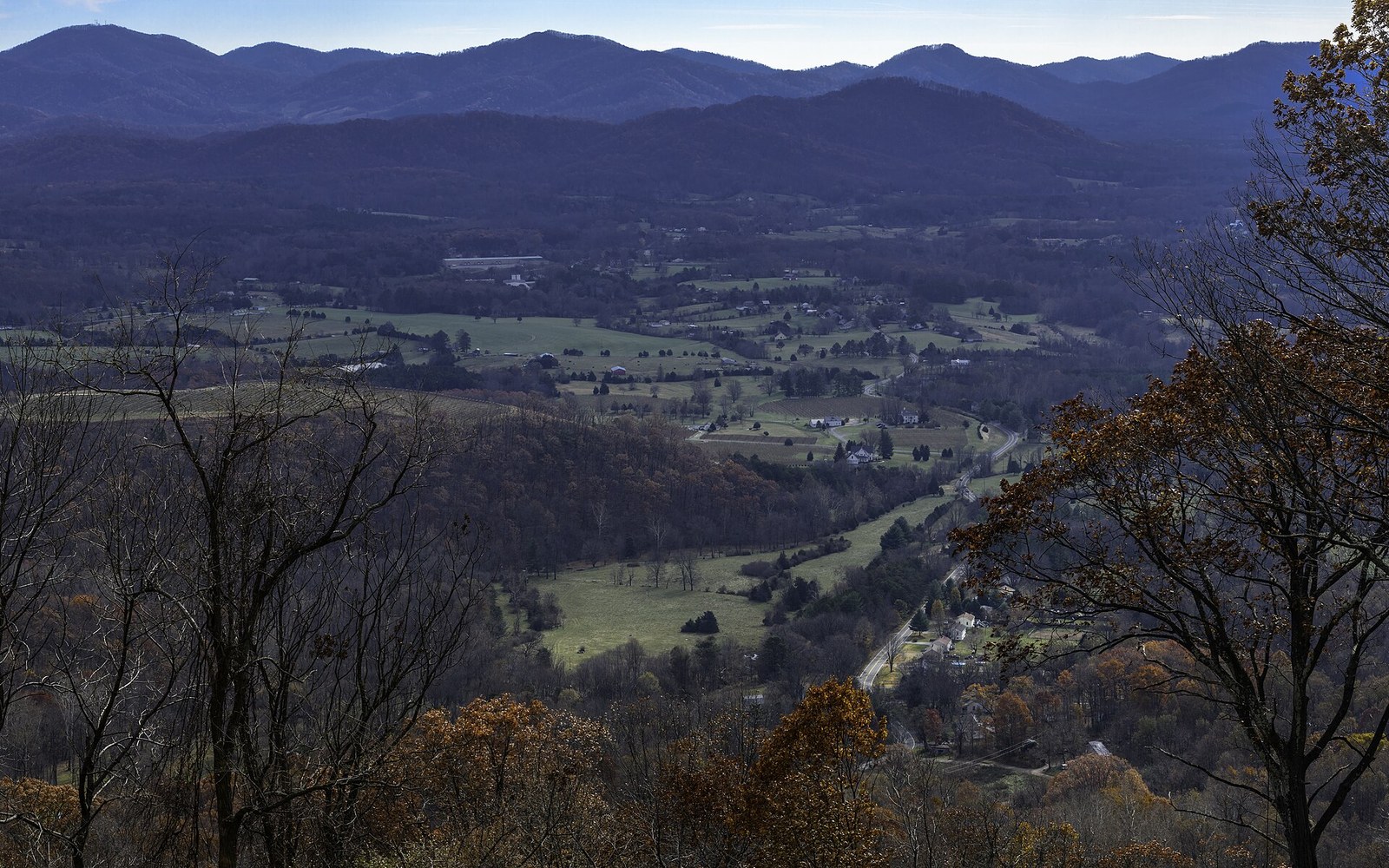
The saddle at Rockfish Gap, looking south. The route crosses the ridge at low points like this one, which is also where the older roads already were.
Photo: Rockfish Gap Scenic Overlook, I-64 East looking south 4 LR · Wikimedia CommonsGaps are not gaps in the landscape — they are the landscape's own logic, and the Parkway reads that logic with precision.
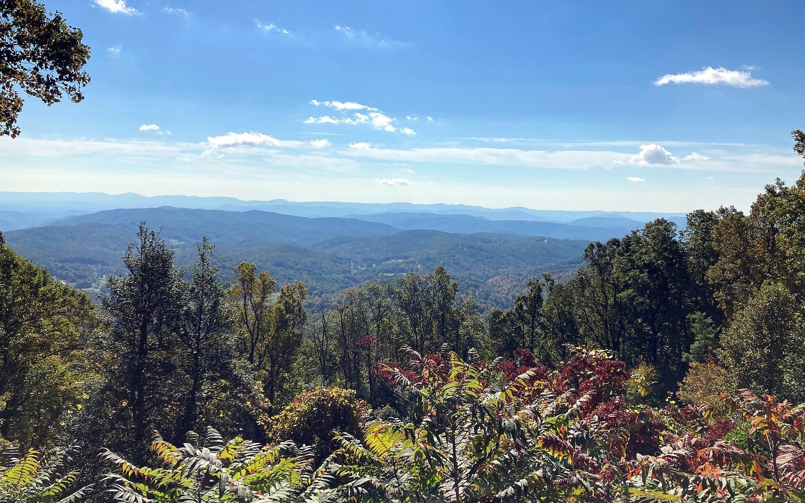
Stoney Fork Overlook. Holding the crest meant cutting benches into slopes a valley road would have avoided entirely.
Photo: Blue Ridge Parkway October 2022 1 (Stoney Fork Overlook) · Wikimedia CommonsThe Low Points That Organized Everything
A gap in Appalachian terminology is a low notch in a ridge crest where two slopes converge and the land briefly yields. Gaps concentrate human settlement the way river bends do on flat ground: they are the places where a path over the mountain costs least, where a community plants itself to hold the crossing, and where the older wagon roads and turnpikes were already graded before the Parkway's surveyors arrived. When the route follows the high ground and then descends to cross a gap, it is repeating a geography that had been repeated for centuries.
Rockfish Gap, at the Parkway's northern terminus in Virginia, makes the pattern obvious. The gap already carried a colonial-era road and later a rail corridor; it is where US 250 and Interstate 64 converge today because the physics of the crossing are simply better there than anywhere nearby. Milepost numbering begins at Rockfish Gap and runs south from this point of least resistance.
The Peaks of Otter sit near a comparable logic: a broadened valley floor between summits, accessible enough that a resort hotel operated there before the Parkway reached it. Farther south, the route works through a sequence of named gaps — Fancy Gap, Gillespie Gap, Newfound Gap — each one marking a settlement, a crossing route, or a point where the ridge allows passage without a tunnel. The names themselves are a record of use: "newfound" because a surveyor discovered the route practicable, "gillespie" because a family already held the ground.

The summit trail on Mount Mitchell. The fir here is Fraser fir, which grows nowhere outside the southern Appalachians ↗.
Photo: Mount Mitchell Summit Trail (March 2023) · Wikimedia Commons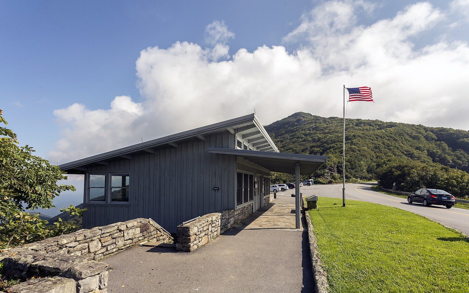
Craggy Gardens, milepost 364. The visitor centre sits on the shoulder of a bald nobody has satisfactorily explained.
Photo: Craggy Gardens NC1 · Wikimedia CommonsDesigners did not choose these crossings arbitrarily. Stanley Abbott, the Parkway's first resident landscape architect, and the engineers who laid the alignment in the 1930s were reading an existing geography of paths, settlements, and legal road rights that predated them by generations. A gap with a pre-existing road offered cleared right-of-way, existing survey data, and community recognition. The Parkway's route is partly an act of design and partly an act of reading.
What this produces at road level is a rhythmic alternation: high ridge, then a descent through mixed hardwoods as the land softens toward a gap, then a crossing where a state road intersects and the Appalachian geography briefly opens up. The tunnels handle the sections where the ridge offered no gap at all. But most of the time, the mountain offered one, and the road took it — because everyone always had.
More in High Ground