Mileposts / How the road is described
Zero is at the north end
Milepost numbering runs from Rockfish Gap in Virginia southward, so every landmark on the road has a number and the numbers only go one way.
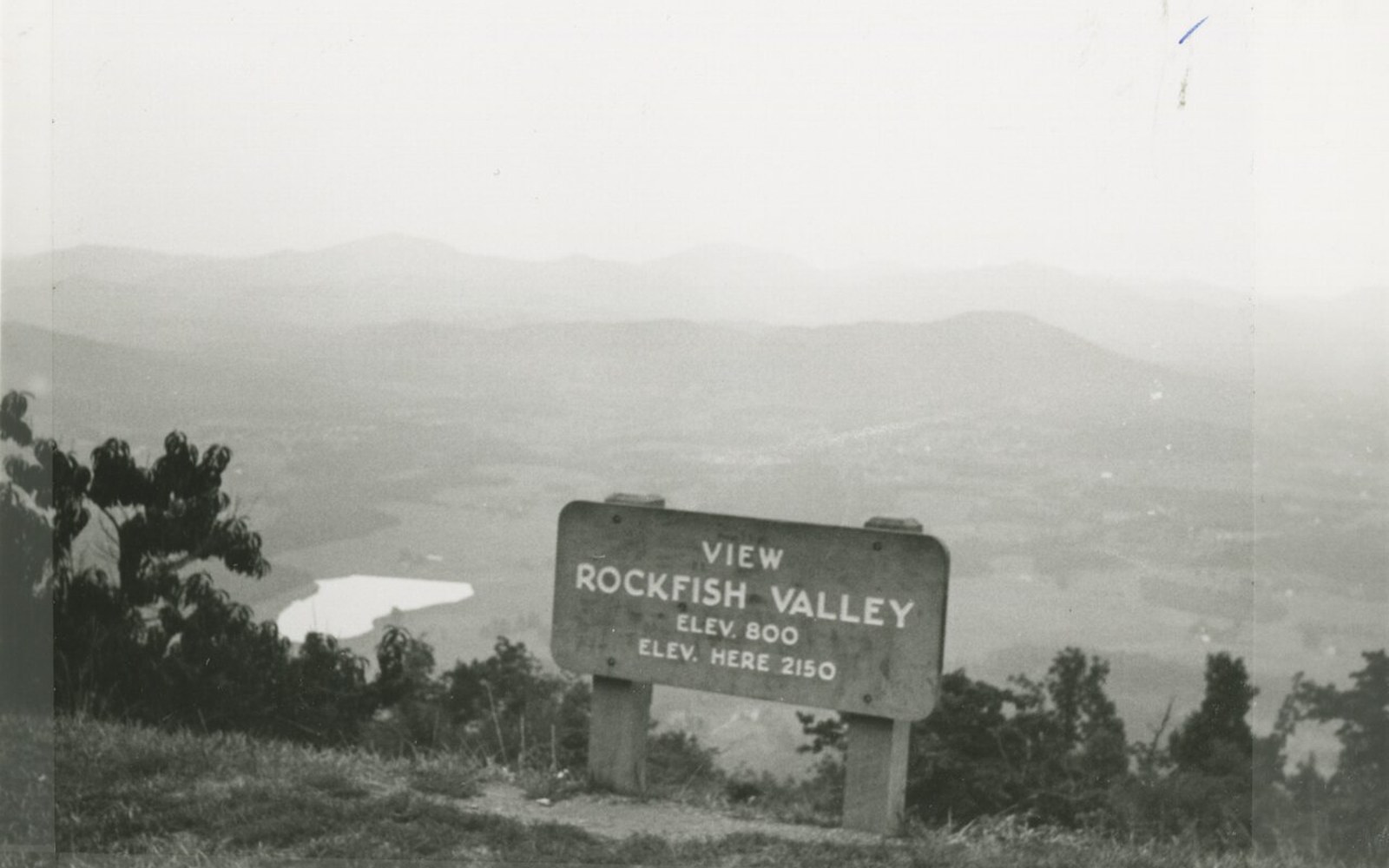
Milepost 0.2. Every number on the road counts from here, southward, and only southward.
Photo: Blue Ridge Parkway, Milepost 0.2 (8aae5bb1cf4c49ad8e2e5ea5a1e458c7) · Wikimedia CommonsThe Parkway's milepost system runs south from Rockfish Gap, giving every bridge, bald and mill an address that is also a position in the design.
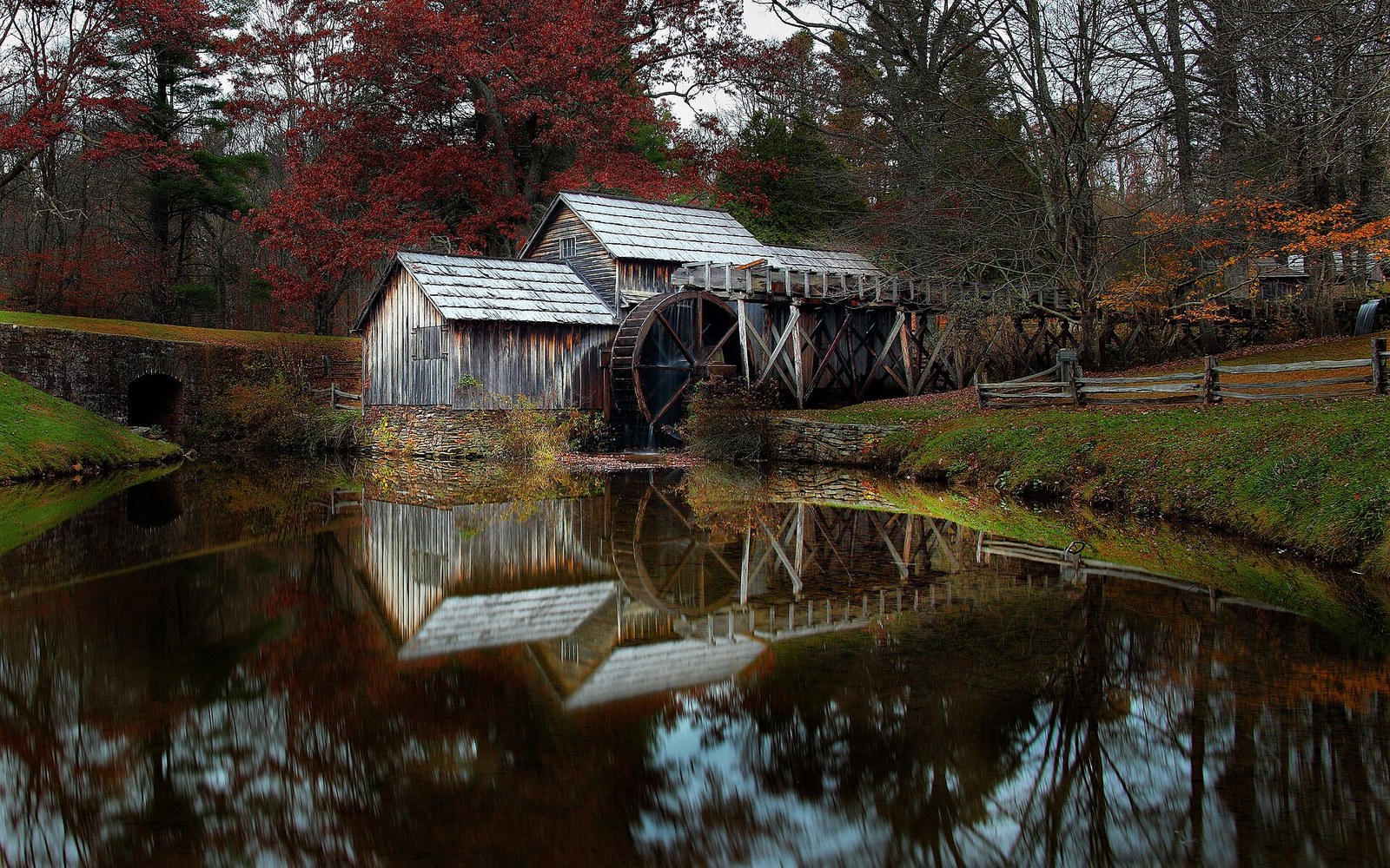
Mabry Mill, milepost 176.1. The most photographed building on the Parkway, and a working mill first.
Photo: Mabrys-mill-hdr - Virginia - ForestWander · Wikimedia CommonsWhy the count starts where it does
Rockfish Gap sits in the Blue Ridge at the southern end of Shenandoah National Park, where Skyline Drive ↗ hands off to the Parkway. The gap is not the highest point on the road, nor the most dramatic, nor the oldest-settled. It is the start because the Parkway was conceived from the outset as a continuation of Skyline Drive southward, a linked corridor of parkland running the spine of the Appalachians from Front Royal, Virginia, to Cherokee, North Carolina. When the National Park Service laid out the numbering in the 1930s, the logic was simple: Skyline Drive already ran south from Front Royal, so the Parkway continued that direction, and the milepost count reset to zero at the junction. Rockfish Gap, milepost 0, is where one designed road ends and another begins.
The two roads are not the same design. Skyline Drive traverses a narrower, federally-owned strip through Shenandoah; the Parkway was always more ambitious in its width of right-of-way, its use of scenic easements over adjacent private land, and its longer sight lines. But the directional logic is shared, and the north-to-south orientation of the count has shaped every description of the road written since. To say a feature is "above" milepost 200 means it is closer to Virginia. To say something is "below" milepost 300 means the Smokies are getting closer.
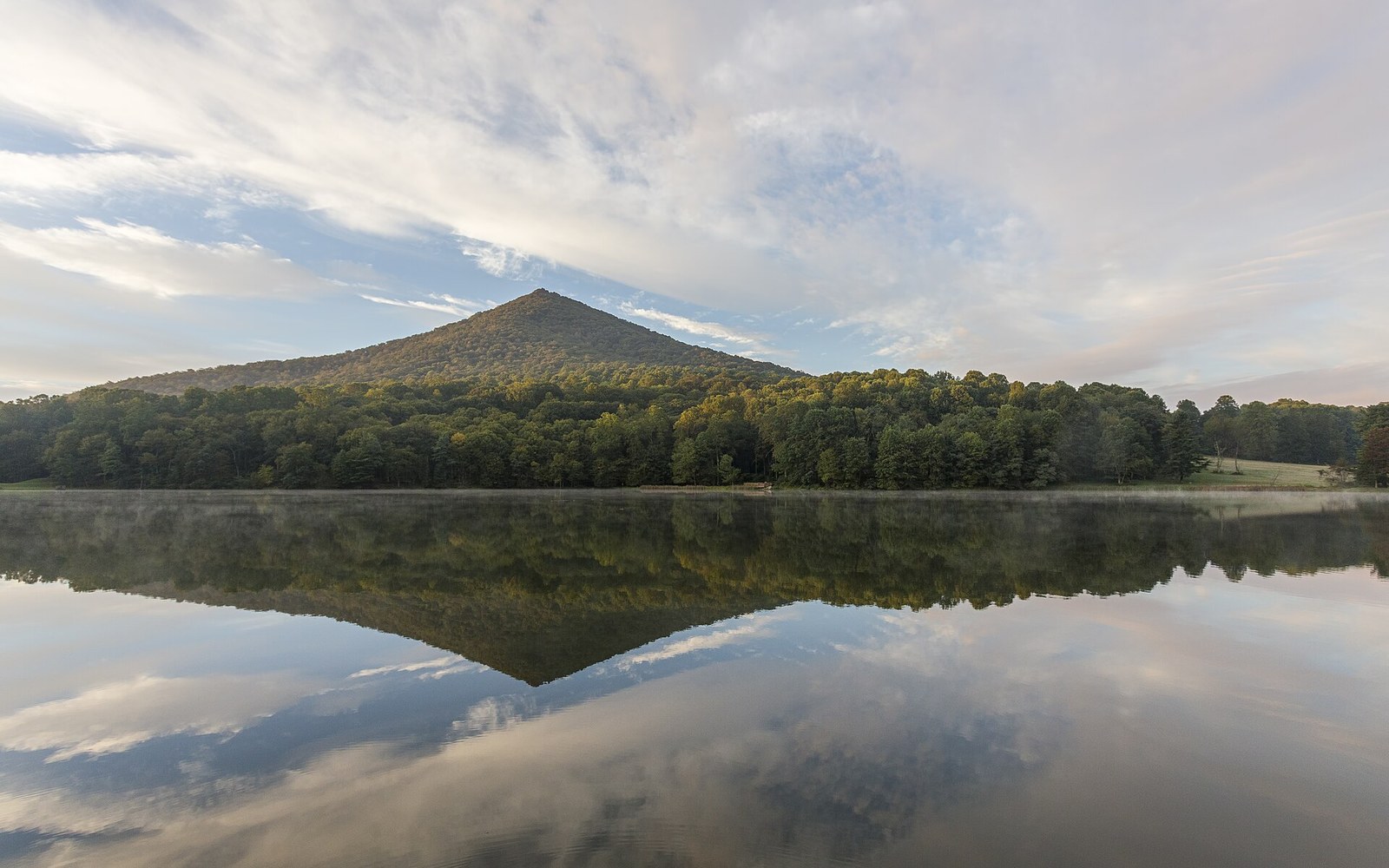
Sharp Top across Abbott Lake. People were coming here a century before the road did.
Photo: Sharp Top VA1 · Wikimedia CommonsA number that does two things at once
The milepost markers are small, squared concrete posts, painted white, set close to the road edge. They appear every mile along the full 469-mile length, from MP 0 at Rockfish Gap to MP 469 at the southern terminus near Cherokee, North Carolina, where the Parkway meets the boundary of Great Smoky Mountains National Park. Each post carries only its number — no elevation, no place name, no direction arrow. The restraint is consistent with the overall design philosophy: nothing on the road shouts.
What the number does, quietly, is give the whole route a skeleton. Every landmark the road contains has an address in the system. Mabry Mill is milepost 176. The Peaks of Otter sit near milepost 86. Craggy Gardens is around milepost 364. Mount Mitchell's spur road leaves the Parkway at milepost 355.4. Grandfather Mountain is visible from the road near milepost 305, and the Linn Cove Viaduct, the last substantial structure built on the Parkway, sits at milepost 304.4. The numbers are a spatial filing system, precise enough that road crews, rangers and engineers use them as primary coordinates rather than town names or compass bearings.
For a driver, the posts do something else: they make the road's length visceral. The Parkway has no mile markers in the interstate sense — no green signs counting down to an exit, no overhead gantries showing distance to the next city. The milepost is the only odometry the road offers. You see one, then another, then another, at the pace the road allows, and the count accumulates. At forty-five miles an hour — the posted limit through most of the road — a mile takes about eighty seconds. At that rhythm, the posts arrive like a slow pulse, and the distance from MP 0 to MP 469 becomes something you feel rather than calculate.
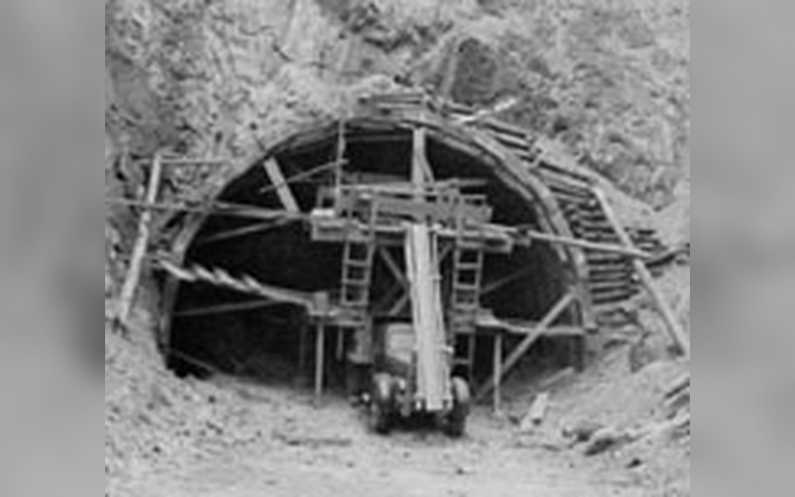
Tunnel construction on the Parkway. Twenty-six were driven, twenty-five of them in North Carolina.
Photo: Blue Ridge Parkway - Tunnel Building on the Blue Ridge Parkway - NARA - 7717417 · Wikimedia CommonsHow the number organises everything else
The milepost system predates the completion of the road by decades. Construction began in 1935 and the last segment — the section around Grandfather Mountain that required the Linn Cove Viaduct — was not finished until 1987. For more than fifty years, the road was being built in non-contiguous segments, with gaps that forced travellers onto state highways. The milepost numbers gave planners and engineers a shared coordinate system across those gaps, a way of specifying exactly where a culvert headwall needed to be faced in stone, or where a guardrail transition required a particular detail. The number was the address for everything.
The design standards that the National Park Service applied to the Parkway were unusually consistent across a project that spanned half a century and involved multiple contractors, state highway departments, and phases of New Deal labour from both the Civilian Conservation Corps and the Works Progress Administration. Maintaining that consistency required a stable reference system. The milepost numbering, locked in early, gave designers and construction supervisors a common language regardless of which segment they were working on.
The same logic still holds in maintenance. When a retaining wall needs inspection, or a tunnel portal shows moisture damage, or a stretch of roadside planting is to be managed for a particular successional stage, the work order references the milepost. The number is not just historical: it is the live addressing system of a functioning designed landscape.
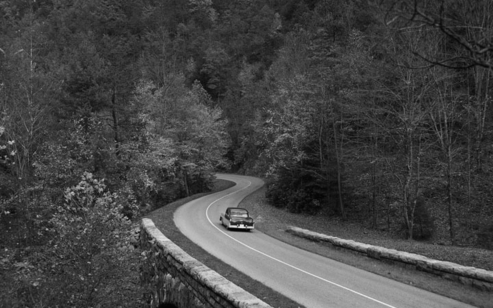
Dry-laid stone at the Humpback Rocks farm museum. Parkway masonry was specified to look older than the road it belongs to.
Photo: BLRI 58-JB-1055 · Wikimedia CommonsReading the road through its posts
There is a secondary use for milepost numbers that emerges only when you know the route well: the number tells you something about what to expect from the terrain. The road's character changes markedly as the count rises. In the Virginia section, from MP 0 through roughly MP 217, the Parkway traverses a gentler, more agricultural landscape — rounded ridges, open meadows, the working rural scenery of the plateau. Mabry Mill at 176, the most photographed structure on the road, sits in that zone, a working mill in a working landscape, preserved but not isolated from its context.
South of the North Carolina border, which the road crosses near milepost 217, the terrain tightens. The mountains are higher, the ridges sharper, the vegetation thicker and darker. Craggy Gardens, where the road passes through heath balds of rhododendron and mountain laurel at around 5,500 feet, is at milepost 364. The stretch approaching Asheville, from roughly milepost 355 through 393, offers some of the most dramatic exposed ridgeline on the entire route. Then the road descends through the final sections toward Cherokee and the Smokies, the count still rising, the landscape still changing.
None of this is written on the posts themselves. The numbers are mute. But a driver who has run the road a few times, or who has studied its history and construction, reads the rising count the way you read a chapter heading: as a locator, a signal that the quality of the place is about to shift. Milepost 304 means the viaduct is just ahead. Milepost 355 means the highest point east of the Mississippi is reachable. Milepost 469 means the road is done.
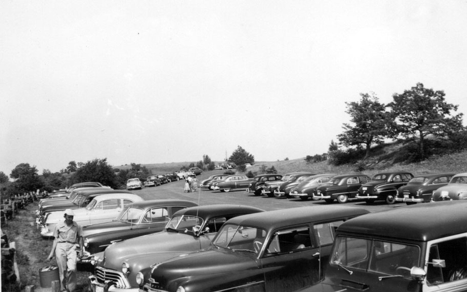
The Bluffs, in Doughton Park. Nothing may be sold within sight of this shoulder.
Photo: Parking Lot at Bluffs Picnic Area (22dd3275-b2b6-d95e-3fad-798bd175b0c8) · Wikimedia Commons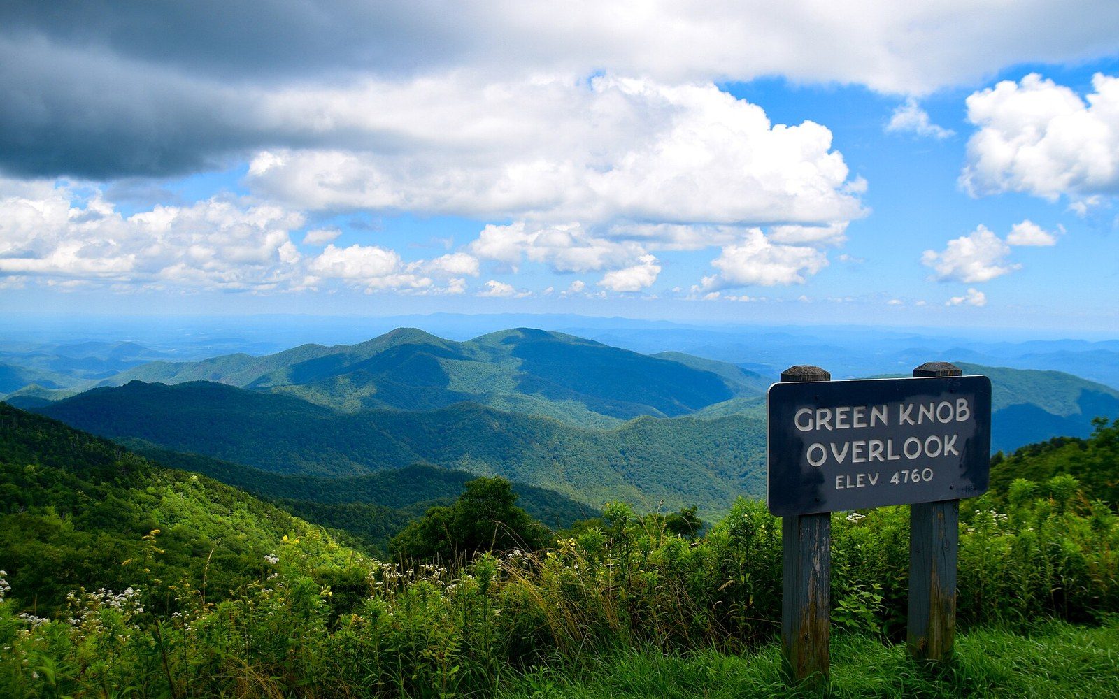
Green Knob Overlook, milepost 350.4 in North Carolina. The Park Service puts the overlook at 4,760 feet; the ridges behind it fall away toward the Black Mountains.
Photo: 2019-07-21 Green Knob Overlook -- Blue Ridge Parkway (NC) · Wikimedia CommonsThe count only goes one way, north to south, zero to 469. That unidirectionality is not incidental. A road with no interchanges, no commerce, no through-freight, no reason to be on it except the road itself — such a road benefits from an orientation. The milepost gives the Parkway a direction and therefore a grammar: a beginning, a progression, an end. Every feature on the road has its place in that grammar, measured precisely from a gap in a Virginia ridgeline where one designed road passes the baton to another.
More in Mileposts