Mileposts / How the road is described
A stop that predates the road
The Peaks of Otter were a destination long before the Parkway reached them, which is why the road bends to include them.
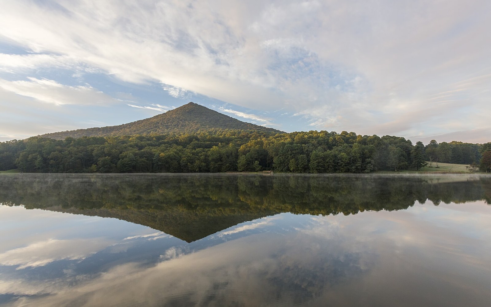
Sharp Top across Abbott Lake. People were coming here a century before the road did.
Photo: Sharp Top VA1 · Wikimedia CommonsThe Peaks of Otter were already famous before the Parkway arrived. The road didn't create the destination — it bent to reach one that already existed.
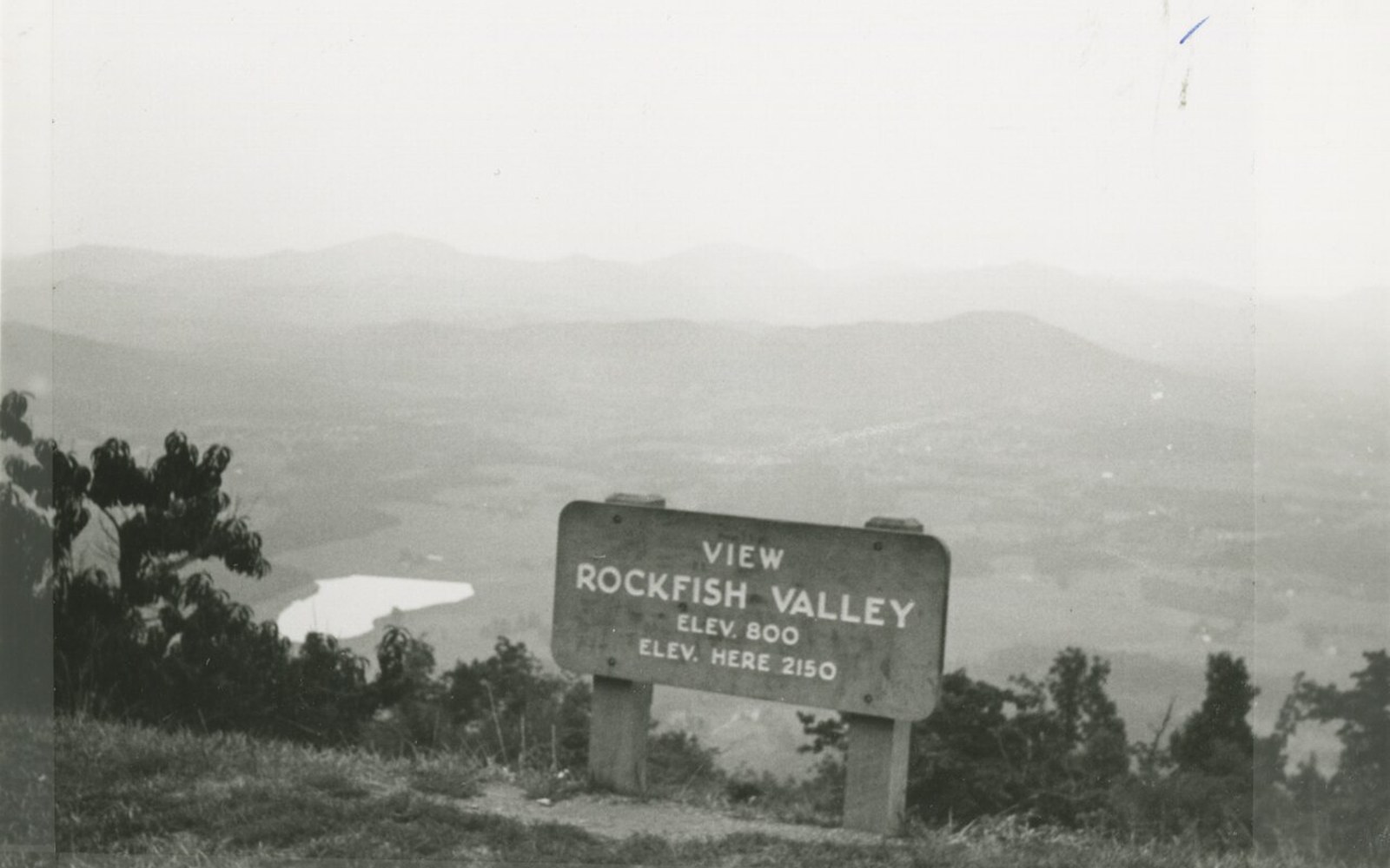
Milepost 0.2. Every number on the road counts from here, southward, and only southward.
Photo: Blue Ridge Parkway, Milepost 0.2 (8aae5bb1cf4c49ad8e2e5ea5a1e458c7) · Wikimedia CommonsWhy the route curves here
Most of the Blue Ridge Parkway follows ridge crests with a consistency that borders on doctrine: stay high, avoid valleys, keep the horizon open. Near milepost 86 in Virginia, the route does something different. It drops toward a bowl of land cupped between three summits — Sharp Top, Flat Top and Harkening Hill — and lingers there in a way that feels almost residential. The reason is simple and rare on this road: the place was already famous, and the designers knew it.
The Peaks of Otter had been drawing visitors since at least the early nineteenth century. Thomas Jefferson mentioned the view from the area, and a series of taverns and small hotels operated on the site across successive generations, long before any paved road connected the region to the wider world. By the time the Blue Ridge Parkway ↗ was being aligned in the mid-1930s, the Peaks had an established identity as a destination — not just a scenic byway feature waiting to be invented, but a place with its own history and its own audience. Route planners accommodated that. The alignment bends specifically to include Abbott Lake and the flatter ground below Sharp Top, which would otherwise have been bypassed in favor of maintaining elevation.
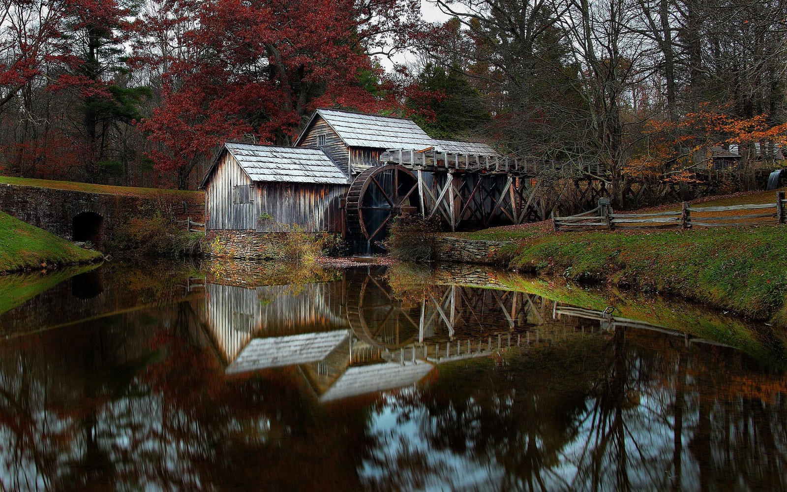
Mabry Mill, milepost 176.1. The most photographed building on the Parkway, and a working mill first.
Photo: Mabrys-mill-hdr - Virginia - ForestWander · Wikimedia CommonsThe mountain that changed shape
Sharp Top is the one most people mean when they say "the Peaks of Otter." It rises to about 3,875 feet and has the kind of profile — pointed, clearly readable against the sky — that makes it legible from miles away along the Parkway corridor. The summit rock is hard, resistant enough to have outlasted the softer rock around it, and the view from the top takes in the Piedmont to the east and the layered ridges of the Valley and Ridge province to the west.
What most people don't know is that the summit is lower than it used to be. Decades of visitors removed stones as souvenirs, and generations of footsteps have worn at the summit. The top has felt the toll of all that attention. What stands there now is Sharp Top after subtraction — still dramatic, still the reason the road curves, but not quite the mountain Jefferson's generation knew.
Flat Top, at around 4,004 feet actually the highest of the three summits, is named simply for its broad, flattened profile.. It is less visited than Sharp Top precisely because it lacks the punctuation of a pointed summit, but the spruce and fir near its crest represent a high-elevation forest community ↗ that becomes increasingly rare at lower latitudes.
Tunnel construction on the Parkway. Twenty-six were driven, twenty-five of them in North Carolina.
Photo: Blue Ridge Parkway - Tunnel Building on the Blue Ridge Parkway - NARA - 7717417 · Wikimedia CommonsAbbott Lake and what it means for the design
The small lake at the base of Sharp Top is not natural. It was impounded as part of the Parkway's developed area here, and its surface gives the mountain a reflection that has made this spot one of the most painted and photographed along the entire 469-mile route. The lake is a design decision — an argument that the experience of a landscape can sometimes be improved by a careful and modest intervention, rather than strict preservation of what was there before.
That argument runs quietly through many of the Parkway's choices. The landscape architecture guidance ↗ that shaped the road from the 1930s onward distinguished between "natural" and "naturalistic": the latter meant designed to look uncontrived, not left entirely alone. Abbott Lake is naturalistic. So are the mown margins, the planted overlooks, and the grading that makes each pull-off feel inevitable rather than imposed. At the Peaks of Otter, where history gave the designers something to work with, that philosophy met its most accommodating site.
The road bent. The lake was made. The mountain had already been waiting.
More in Mileposts