High Ground / Why the road is where it is
A road drawn along the top
The Parkway follows ridge crests rather than valleys, which is a scenic decision that cost far more in construction than a valley alignment would have.
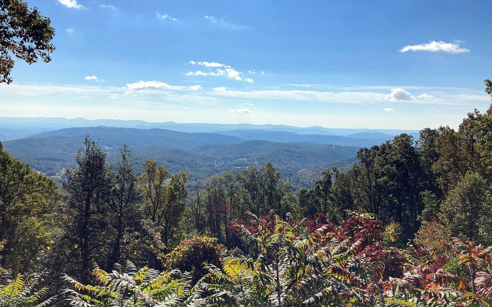
Stoney Fork Overlook. Holding the crest meant cutting benches into slopes a valley road would have avoided entirely.
Photo: Blue Ridge Parkway October 2022 1 (Stoney Fork Overlook) · Wikimedia CommonsA deliberate choice with a steep price
The road could have taken the easy line. Valleys are where roads go: flat ground, gentle grades, existing routes worn smooth by rivers and the people who followed them. When planners in the early 1930s began sketching what would become the Blue Ridge Parkway, they had the option of threading a route through the hollows and along the creek bottoms of the southern Appalachians. They chose something harder. The Parkway runs along the high ground — ridge crests, mountain shoulders, the windswept edges of the escarpment — because the view from up there is the point. That decision, scenic in its logic, was punishing in its engineering cost.
The basic problem is topographic. Ridgelines are not flat. They rise and fall in a series of crests and gaps, and any road that follows them must follow that rhythm too, climbing to each high point and descending to each gap where the ridge dips to let something through. The Parkway's designers wanted to stay as close to the crest as possible between gaps, which meant constant earthwork: cut-and-fill on a massive scale, with material excavated from one slope used to build up the roadbed on the next. On a valley floor, you grade a single level surface. On a ridgeline, you are remodelling a mountain.

The summit trail on Mount Mitchell. The fir here is Fraser fir, which grows nowhere outside the southern Appalachians.
Photo: Mount Mitchell Summit Trail (March 2023) · Wikimedia CommonsThe geometry of high ground
The ridge-following alignment was not accidental and not purely scenic. The landscape architects and engineers working on the Parkway — most prominently Stanley Abbott, who served as resident landscape architect from the project's early years — understood that a road placed on the high shoulder of a mountain presents its traveller with a fundamentally different experience from one placed below. On the valley road, the mountains are things you look up at. On the ridge road, the mountains are things you look across, and the horizon expands to include everything from the foothills below to the next range beyond. The road becomes a moving viewpoint, not a passage between views.
Abbott and his colleagues borrowed this idea from Skyline Drive, the earlier parkway through Shenandoah National Park that runs north from Rockfish Gap along the crest of the Blue Ridge in Virginia. Skyline Drive had proved that ridge alignment worked aesthetically; the Blue Ridge Parkway extended the principle southward for 469 miles to Great Smoky Mountains National Park, into terrain that grew progressively wilder and more demanding. The Virginia section, from Rockfish Gap to the North Carolina border, follows a comparatively coherent ridge system. Once the road crosses into North Carolina, the topography fractures into a complex of ranges, spurs and isolated massifs where maintaining high ground becomes a more violent negotiation with the landscape.
The cost difference between a ridge alignment and a valley alignment is not a figure that was ever neatly totted up in a single document, but the engineering logic is clear. Every foot of elevation you build into a road above a valley floor requires material, drainage and structural support that a flat alignment does not. Culverts must handle water falling from above as well as water crossing below. Slopes must be stabilised against erosion. The roadbed itself must be wide enough for safe passage while sitting on a hillside that wants to shed everything placed on it. The Civilian Conservation Corps and Works Progress Administration workers who built much of the Parkway from 1935 onward were, in many stretches, essentially doing mountain engineering with hand tools and light machinery, in terrain that resisted every move.
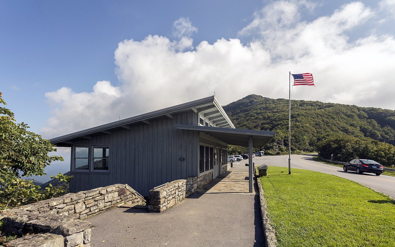
Craggy Gardens, milepost 364. The visitor centre sits on the shoulder of a bald nobody has satisfactorily explained.
Photo: Craggy Gardens NC1 · Wikimedia CommonsWhere the cost was highest
The premium on high-ground construction showed most clearly at the two ends of the construction timeline. The northern sections, built in the Depression years, ran across the most accessible terrain and were completed relatively quickly. By the time construction reached the rugged country around Grandfather Mountain in North Carolina, the arithmetic had changed completely.
The Grandfather Mountain section, in the North Carolina high country, required a solution that had not existed when construction began. The ridge there drops so steeply on its eastern flank that no conventional road-on-earthwork approach was viable without devastating the mountainside. The answer was the Linn Cove Viaduct, a segmental concrete bridge — a bridge assembled from precast sections cantilevered outward without a haul road or scaffolding below — that hugs the mountain's contour for 1,243 feet. It opened in 1987, completing the last gap in the Parkway more than fifty years after construction began. The viaduct is the most expensive piece of road per running foot on the entire route, and it exists entirely because the design rule — stay on the high ground — could not be relaxed even in the most punishing terrain.
The same rule shaped the quieter decisions that most drivers never notice. The road's cross-section is wider on the uphill side of a cut than on the downhill side, because material needs somewhere to go and the visual effect of a raw cut face needs to be softened into the slope. The planting programme that accompanied construction was not ornamental afterthought: it was structural, holding the disturbed soil of ridge cuts and fills in place while making the engineered surfaces read as continuous landscape. Landscape architects specified which species went where, matching the revegetation to the natural plant communities of each elevation band. At the high balds — the open, windswept summits like those at Craggy Gardens — the road was positioned to give views over the heath without cutting through it, threading the transition between tree line and open ground with careful precision.
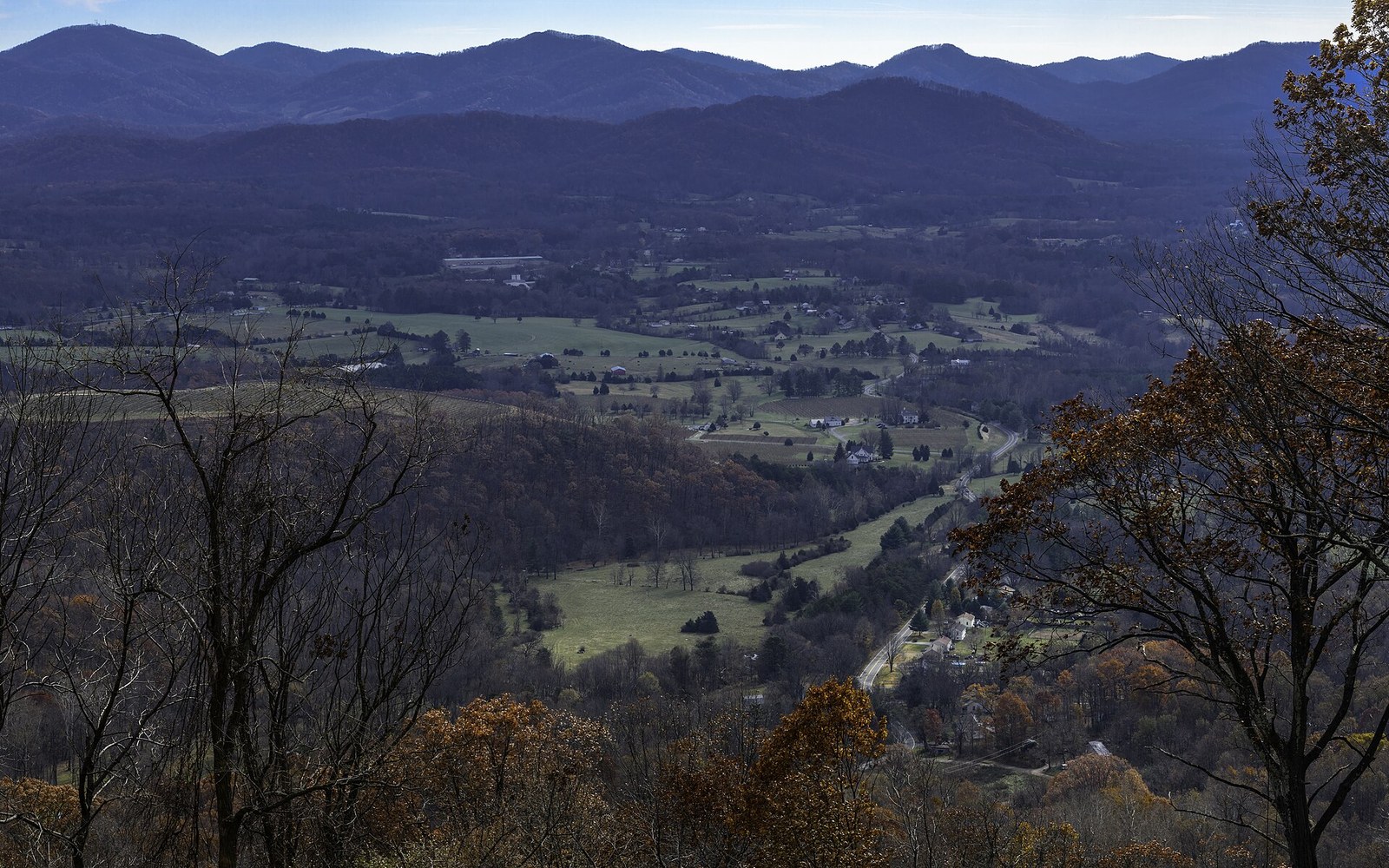
The saddle at Rockfish Gap, looking south. The route crosses the ridge at low points like this one, which is also where the older roads already were.
Photo: Rockfish Gap Scenic Overlook, I-64 East looking south 4 LR · Wikimedia Commons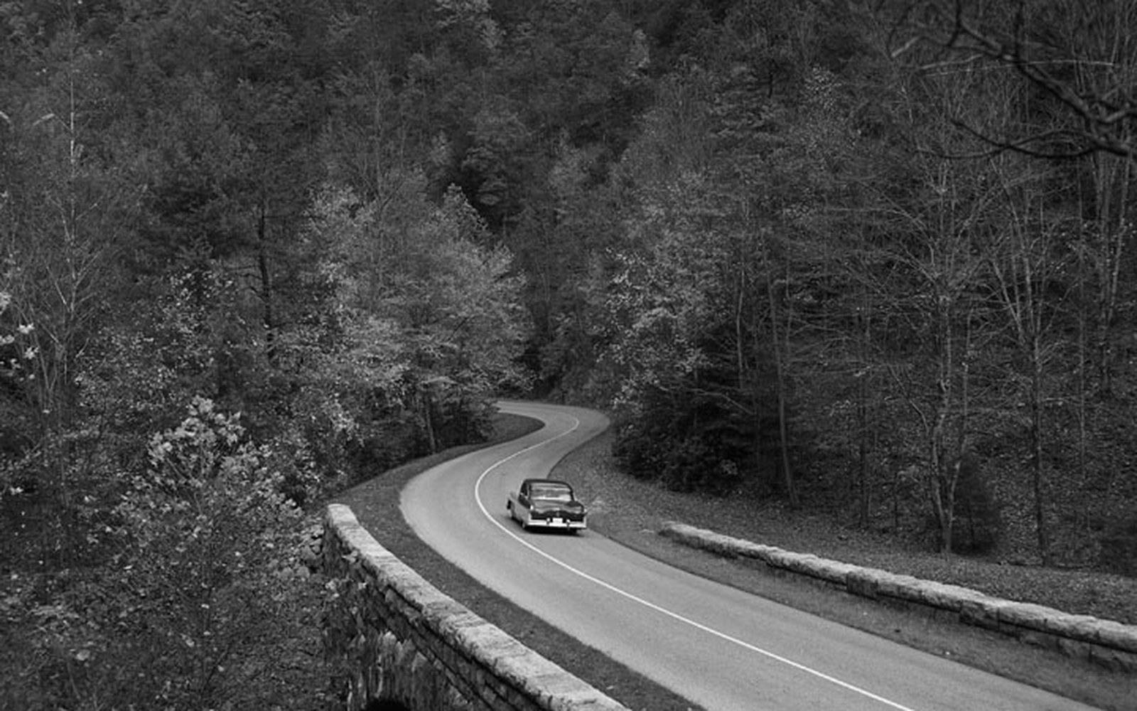
Dry-laid stone at the Humpback Rocks farm museum. Parkway masonry was specified to look older than the road it belongs to.
Photo: BLRI 58-JB-1055 · Wikimedia CommonsThe scenic easements purchased over adjacent private land reinforced the same logic from the other direction. Keeping the view intact from a high-ground road required controlling what happened in the foreground below as well as on the road corridor itself. The National Park Service acquired scenic easements over many thousands of acres of private land flanking the Parkway — not the land itself, but the right to prevent structures or land uses that would break the continuity of the rural and forested views the high alignment was designed to deliver.
What a driver experiences as an uninterrupted panorama — the long southward views from the ridges above Asheville, the layered blue distances from the Peaks of Otter, the sensation of being above the weather at the high points near Mount Mitchell — is the product of a construction programme that consistently chose difficulty over economy. The road follows the ridge because the ridge was the design. Everything else, every cut and fill and culvert and planted slope and purchased easement, is the cost of keeping that commitment.
More in High Ground