The Rules / The rules that keep it looking like this
Buying the view, not the land
Scenic easements were purchased over adjacent private land so the view from the road could be controlled without the government owning the farm.
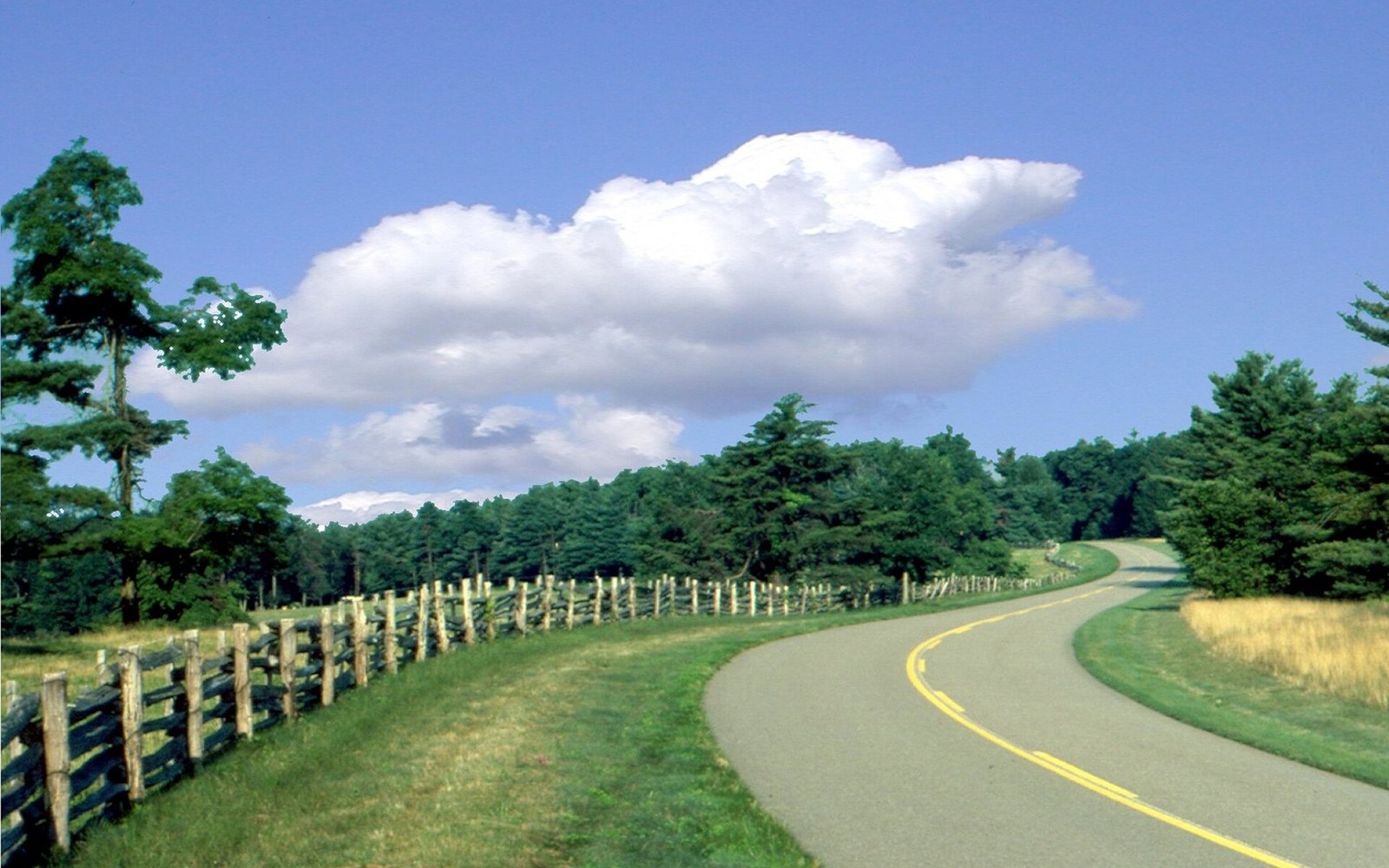
Split-rail fence along the Parkway. The field behind it belongs to somebody else; the view across it does not.
Photo: Blue Ridge Parkway - Split Rail Fences Along the Parkway - NARA - 7717426 · Wikimedia CommonsThe device that made the corridor work
The Blue Ridge Parkway occupies a surprisingly narrow strip of ground for a road that manages to look as though it owns everything you can see. The pavement, the shoulders, the mowing strip, the occasional picnic ground — the actual fee-simple ownership rarely runs more than a few hundred feet either side of the centerline. Yet a driver moving south from Rockfish Gap toward the Great Smoky Mountains National Park sees almost nothing that breaks the rural character: no billboards, no petrol-station canopies, no warehouse rooflines punching above a tree line. That effect is not an accident of geography. It is the result of a legal instrument purchased, parcel by parcel, across more than five decades of construction: the scenic easement.
A scenic easement is an agreement in which a private landowner sells, to a government agency, certain specific rights over their land while keeping ownership of it. The land stays in the family; the cattle still graze; the farmhouse stays put. What the landowner gives up — permanently, recorded against the deed — is the right to do things that would compromise the view from the road. Subdividing and selling building lots. Erecting structures above an agreed height. Clear-cutting timber on slopes the road looks across. Putting up any kind of commercial signage. The National Park Service acquires these rights and holds them, which is why the view from the Parkway is, in legal terms, something the federal government owns a share of, without owning the farm.
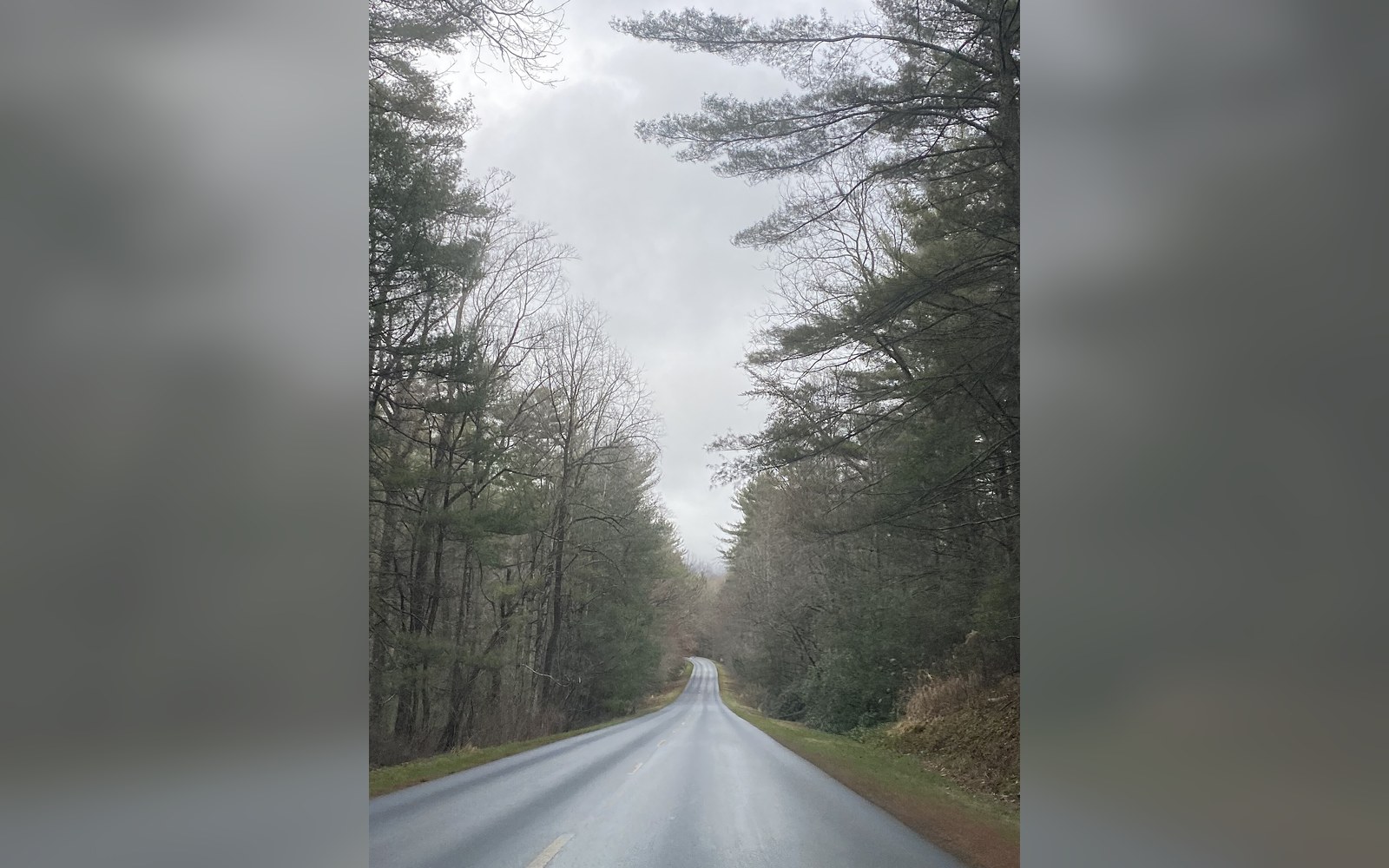
A wet morning near Asheville. No trucks, no signs, no frontage — the emptiness is the specification.
Photo: Blue Ridge Parkway- Asheville, NC on a rainy day · Wikimedia CommonsWhy this was necessary
The alternative was full acquisition, and full acquisition was politically and financially impossible at the scale the Parkway required. The road runs 469 miles through some of the most continuously settled rural landscape in the eastern United States. The farms and woodlots along the Blue Ridge had been in families for generations; many of the hollows and ridge-side pastures had not changed hands since the nineteenth century. Condemning and purchasing all of it in fee simple would have displaced communities wholesale, created an enormous administrative burden, and cost multiples of what the Depression-era public-works budget could contemplate.
The scenic easement let the designers have the view without having to own everything in it. The concept had been applied on Skyline Drive and in other contexts before, but the Blue Ridge Parkway applied it at a scale and consistency that became a model. The standard easement language was developed through negotiations between the National Park Service, the states of Virginia and North Carolina (who assisted in acquisition in the early decades), and individual landowners. Not every landowner was willing; some required condemnation proceedings; but a great many, particularly those who intended to continue farming and had no wish to sell the land itself, found the arrangement acceptable. They received compensation for the rights they conveyed, and they kept the land.
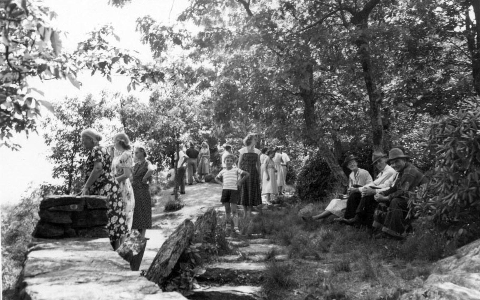
Wildcat Rocks Overlook at Doughton Park in 1951. The overlook was built in 1939, for traffic moving at 45.
Photo: Bluffs Lodge - Doughton Park. In this 1951 view, parkway visitors stop at Wildcat Rocks Overlook. The overlook was built in 1939 (c0f5a052-946d-d016-06fc-6d8c2988d306) · Wikimedia CommonsWhat the easement actually controls
The instrument is not a blanket restriction. Each easement is specific to the parcel and to what can be seen from the road at that point. On a high open ridge where the sightlines are long and the exposure is total, the easement may restrict construction across a wide swath of land and require that any timber harvest leave a visual screen along the road-facing slope. On a parcel where the road runs through a cut and the land above is not visible from any point on the Parkway, the restrictions may be minimal. The landscape architects who advised on the route — most consequentially Stanley Abbott, the Parkway's first resident landscape architect, who shaped its design philosophy from 1934 onward — understood that the view from a moving vehicle is dynamic. Abbott's approach treated the road itself as a design object and the landscape beyond the right-of-way as scenery to be composed. The easement was the legal mechanism for composing it.
Scenic easements on the Blue Ridge Parkway ↗ are administered today by the National Park Service and are reviewed when land changes hands or when a landowner seeks to build or alter the property in ways that might affect the protected view. The restrictions run with the land in perpetuity; they cannot be waived by a subsequent owner. This is what separates a scenic easement from an informal agreement or a zoning ordinance that a future county commission could amend.
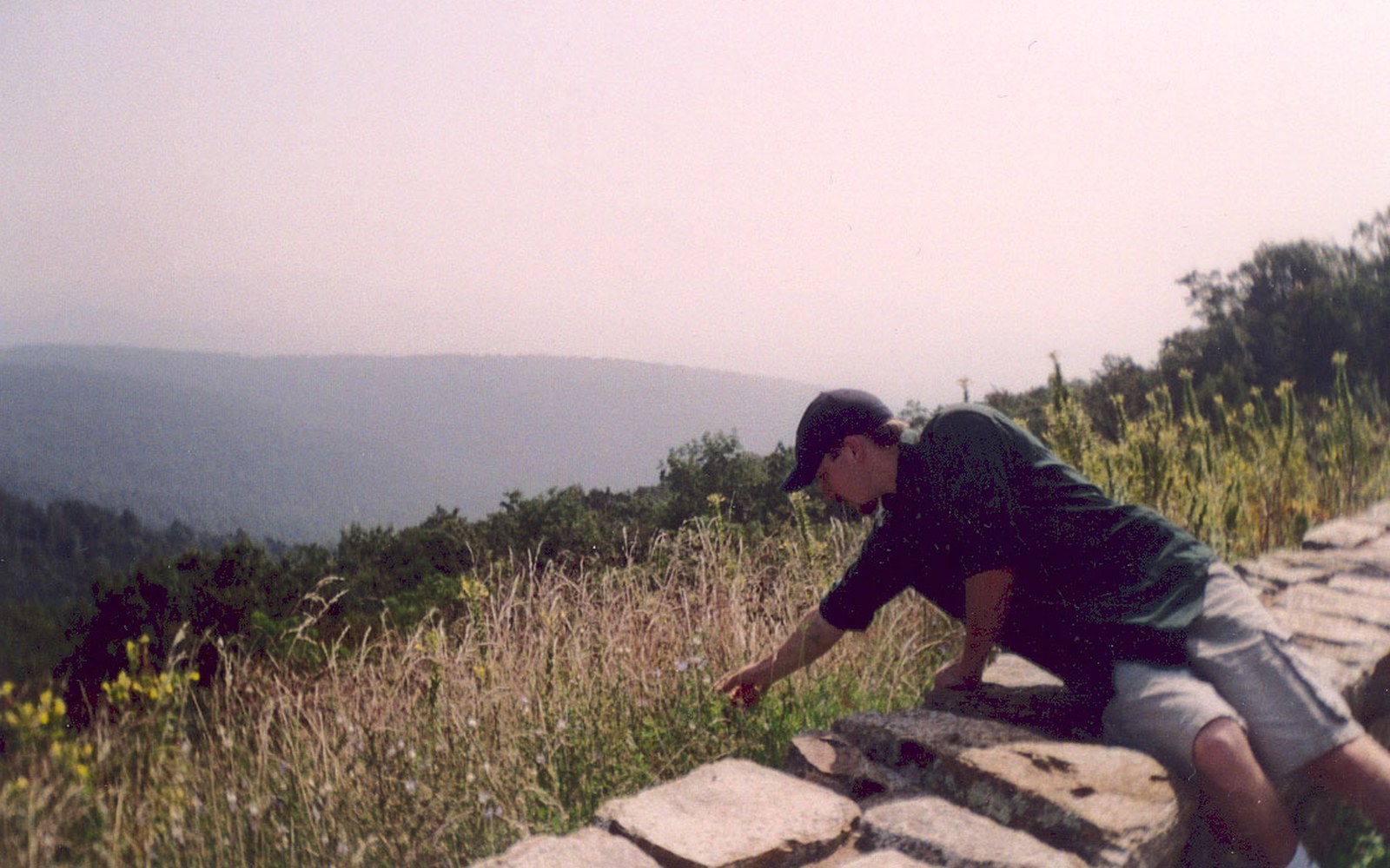
Wildflowers on a mown verge. The line where the mowing stops was drawn by a landscape architect.
Photo: Blue Ridge Parkway - Wildflower Interlude - NARA - 7717419 · Wikimedia CommonsThe gaps, and what they show
The system is not without its failures and its holes. Not every parcel along the corridor was successfully covered. In stretches where easements were never purchased, or where the instruments were drawn too narrowly, development has occasionally crept into views that were once clear. A mobile home visible on a far ridge, a metal barn that went up before anyone applied to the Park Service — these are the exceptions, and they read as exactly that: breaks in a consistency so maintained that a single intrusion registers immediately. The effect is instructive. It is only because the rest of the corridor is so consistently controlled that the uncontrolled moments feel jarring.
The acquisition of easements continued long after the road itself was built. Near Grandfather Mountain, where construction controversies over the route delayed completion until 1987, the easement negotiations were among the most complex on the entire Parkway, involving not only private landowners but the broader question of how close the road should come to what was then privately operated as a nature attraction. The Linn Cove Viaduct was ultimately the engineering answer to a landscape-protection problem: by building from above rather than cutting a haul road, the construction itself avoided damaging the slopes the easements were meant to protect.
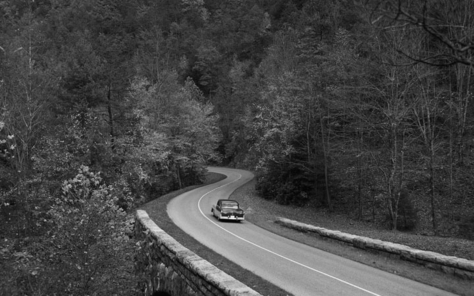
Dry-laid stone at the Humpback Rocks farm museum. Parkway masonry was specified to look older than the road it belongs to.
Photo: BLRI 58-JB-1055 · Wikimedia CommonsThe price of the view
What scenic easements demonstrate, quietly and without any signage to announce it, is that the landscape character of the Parkway corridor ↗ is a managed artefact as much as the road surface or the stone parapets. The farms that look so naturally woven into the view from the road are, in part, there because the government paid to keep them looking that way. The open pasture on the hillside, the woodlot on the ridge, the absence of any structure between the mowing strip and the skyline — each of these may represent a negotiated right, a dollar figure agreed decades ago, a deed restriction running forward without a termination date.
Driving the Parkway, you are moving through a designed view that extends well beyond the land the government owns. The easement is why the scene holds.
More in The Rules