The Rules / The rules that keep it looking like this
A road with nothing to sell
Commercial traffic and roadside business are excluded by design, which is why the Parkway looks unlike any other long road in the country.
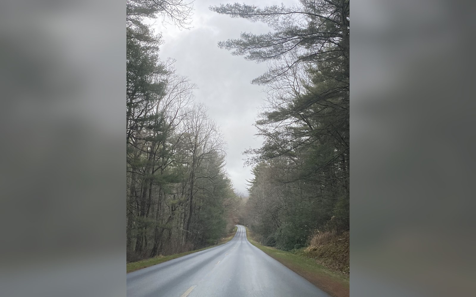
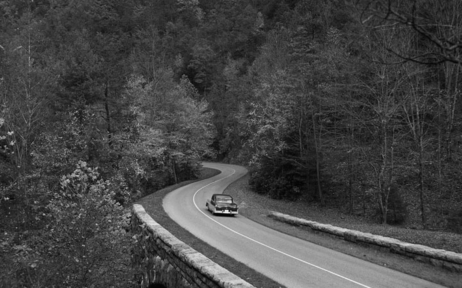
A wet morning near Asheville. No trucks, no signs, no frontage — the emptiness is the specification.
Photo: Blue Ridge Parkway- Asheville, NC on a rainy day · Wikimedia CommonsThe Parkway was designed to exclude commerce from the roadside — and that exclusion is the single biggest reason it looks the way it does.
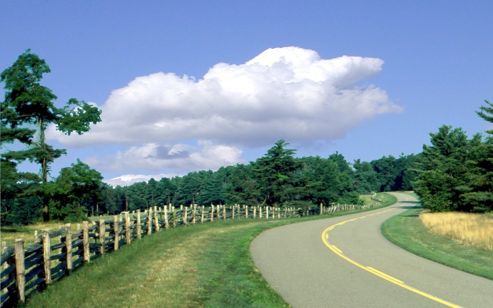
Split-rail fence along the Parkway. The field behind it belongs to somebody else; the view across it does not.
Photo: Blue Ridge Parkway - Split Rail Fences Along the Parkway - NARA - 7717426 · Wikimedia CommonsA Different Kind of Exclusion Zone
Every road has a logic to it. Interstate highways exist to move goods and people at speed; their roadsides accumulate what speed and volume attract — fuel, food, chain lodging, billboards reading the traffic like an audience. The Blue Ridge Parkway was designed to defeat that logic entirely. Commercial traffic is prohibited. Billboards are prohibited. Roadside businesses with access from the road are prohibited. The result is not a road that happens to look pretty; it is a road that looks the way it does because a deliberate legal and design framework keeps it that way.
The prohibition was established early. When the route was being planned in the mid-1930s, the National Park Service drew on precedent from Skyline Drive in Shenandoah National Park, which had already demonstrated what a parkway corridor, stripped of ribbon development, could look like. But the Blue Ridge Parkway was more than four times longer — 469 miles against Skyline Drive's 105 — and its corridor passed through privately held land for most of its length. That created both a legal challenge and a design problem: how do you hold a commercial exclusion zone 469 miles long when you do not own the land on either side?
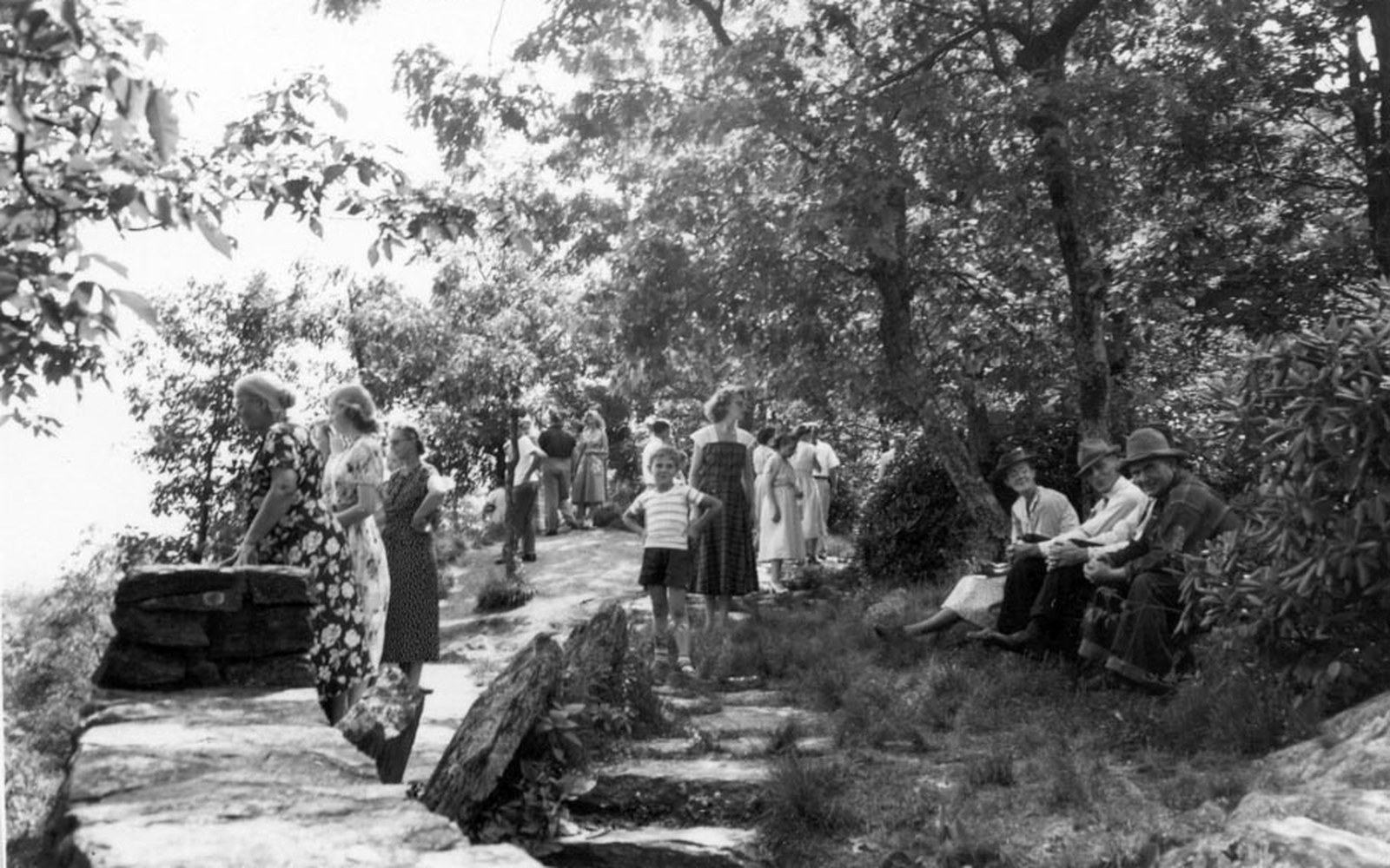
Wildcat Rocks Overlook at Doughton Park in 1951. The overlook was built in 1939, for traffic moving at 45.
Photo: Bluffs Lodge - Doughton Park. In this 1951 view, parkway visitors stop at Wildcat Rocks Overlook. The overlook was built in 1939 (c0f5a052-946d-d016-06fc-6d8c2988d306) · Wikimedia CommonsScenic Easements and the Purchased View
The answer was the scenic easement: a legal instrument through which the Park Service purchased, from adjacent landowners, specific rights over how the land visible from the road could be used. A scenic easement does not transfer ownership. The farmer keeps the farm; the Park Service acquires the right to prevent him from subdividing it into a motel forecourt or erecting a sign. By the time the Parkway was complete, thousands of scenic easements had been acquired along the full length of the route — a legal quilt that holds the visual corridor together without the federal government owning every acre.
Inside the corridor itself, the rules are stricter still. The Parkway's enabling legislation and the management policies that followed from it prohibit through commercial traffic — trucks moving freight, delivery vehicles, anything using the road as a throughway for commerce. This is enforced practically by the road's own geometry: low speed limits, tight curves, no bypasses and the absence of on-road truck facilities make the Parkway useless as a freight route. That uselessness is not an accident; it is engineered in.
What the exclusion produces visually is a kind of negative presence. The thing you are looking at when you look at the Parkway landscape is partly an absence: no utility poles strung along the roadside (lines were buried or rerouted), no franchise signage at junctions, no billboards indexing the services available at the next exit. On an American road of comparable length, the density of commercial signage along the roadside would be enormous. Here there is none.
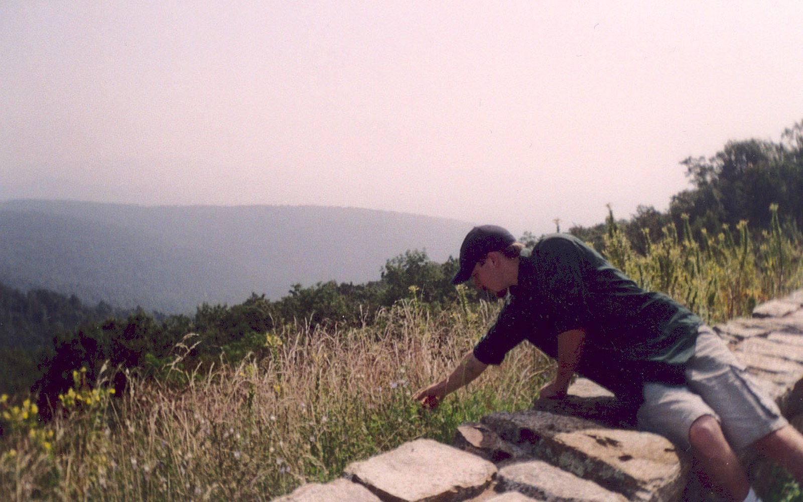
Wildflowers on a mown verge. The line where the mowing stops was drawn by a landscape architect.
Photo: Blue Ridge Parkway - Wildflower Interlude - NARA - 7717419 · Wikimedia CommonsThe Franchise Problem
Where services do exist on the Parkway — at a small number of developed areas including the Peaks of Otter, the area near Asheville and several others — they are operated under concession agreements with the Park Service, not by franchise chains. The concession model means that the buildings, their design and their materials are subject to approval; they are held to the same visual standards that govern everything else on the road. A gas station on the Parkway does not look like a gas station on Interstate 81. The canopy, the signage, the materials are all controlled. Several of the developed areas include facilities designed to read as vernacular Appalachian architecture, continuous with the rustic aesthetic that the Park Service and its landscape architects imposed on the road as a whole from the 1930s onwards.
Mabry Mill, at milepost 176.1, is the logical extreme of this tendency: a working mill that is also an exhibit, its commercial life frozen in amber so that it functions as scenery rather than as trade. It is the most photographed single point on the entire Parkway, and what it photographs as is not a mill doing business but a mill performing the memory of doing business. The commercial has been aestheticised out of existence.
Dry-laid stone at the Humpback Rocks farm museum. Parkway masonry was specified to look older than the road it belongs to.
Photo: BLRI 58-JB-1055 · Wikimedia CommonsWhy This Is Hard to Maintain
The pressure against the commercial exclusion has always been real. Communities along the route have argued repeatedly that their exclusion from Parkway access disadvantages local economies — that the road pulls visitors through without letting them stop and spend. The routing disputes of the mid-twentieth century, particularly in western North Carolina, had an economic as well as a political dimension: access to the corridor meant access to tourist traffic, and communities fought over it accordingly.
The scenic easement system has also been tested at its edges. Easements vary in what they restrict ↗, and some adjacent land uses have crept close to the visual corridor over the decades. Cell towers, visible structures and changed agricultural patterns have all, at various points, created tensions between the easement framework and what development pressure does to land around it. The framework holds, but it holds because it is actively administered, not because it is self-enforcing.
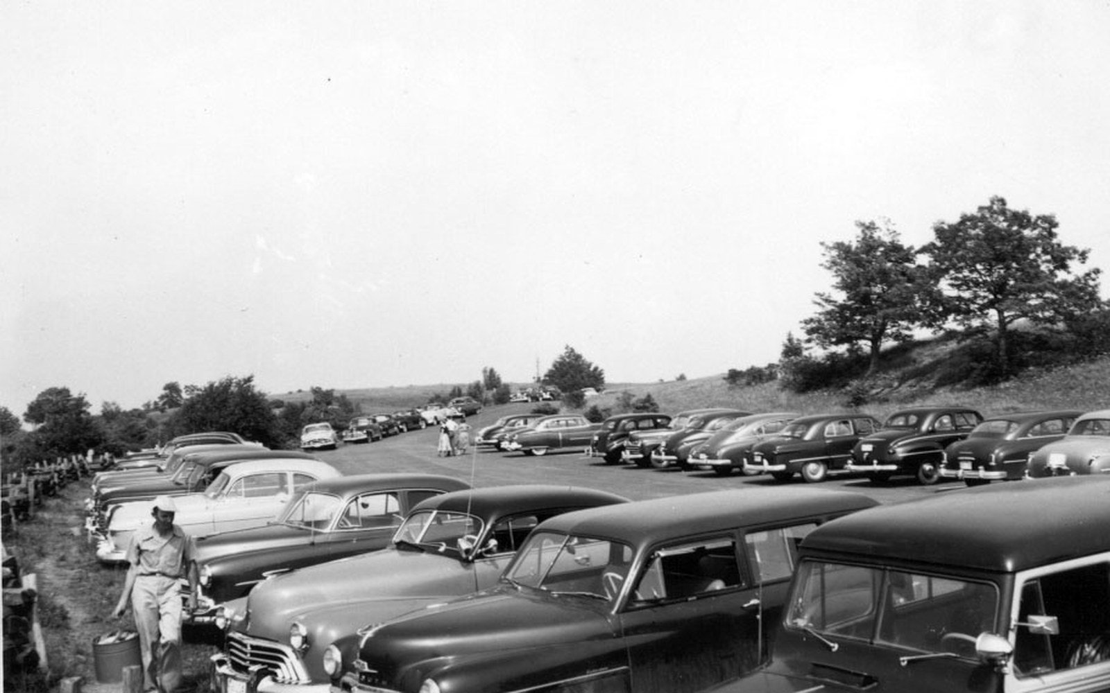
The Bluffs, in Doughton Park. Nothing may be sold within sight of this shoulder.
Photo: Parking Lot at Bluffs Picnic Area (22dd3275-b2b6-d95e-3fad-798bd175b0c8) · Wikimedia CommonsThe Design Consequence
What the commercial exclusion makes possible, ultimately, is the experience the road was built to produce: a continuous landscape sequence with no interruption in register. The Parkway never breaks to remind you that you are also a consumer. There are no miles in which the visual grammar of the road switches from designed parkway to commercial strip and back again. The 469-mile corridor holds a single tone.
That consistency is not a natural property of the landscape. The Appalachian countryside through which the road runs is not uniformly pristine; it contains farms, towns, cell infrastructure and the ordinary texture of lived land. The Parkway looks the way it does because a set of legal instruments, design rules and management decisions, assembled and layered over nine decades, actively produces that appearance. The absence of commerce on the roadside is not an absence that was always there. It was purchased, designed, legislated and enforced, mile by mile, from Rockfish Gap to the edge of the Great Smoky Mountains National Park.
More in The Rules