The Build / Fifty-two years of construction
The last gap, built from the top down
The Linn Cove Viaduct opened in 1987 as a segmental concrete bridge built without a haul road below, specifically so Grandfather Mountain would not be cut.
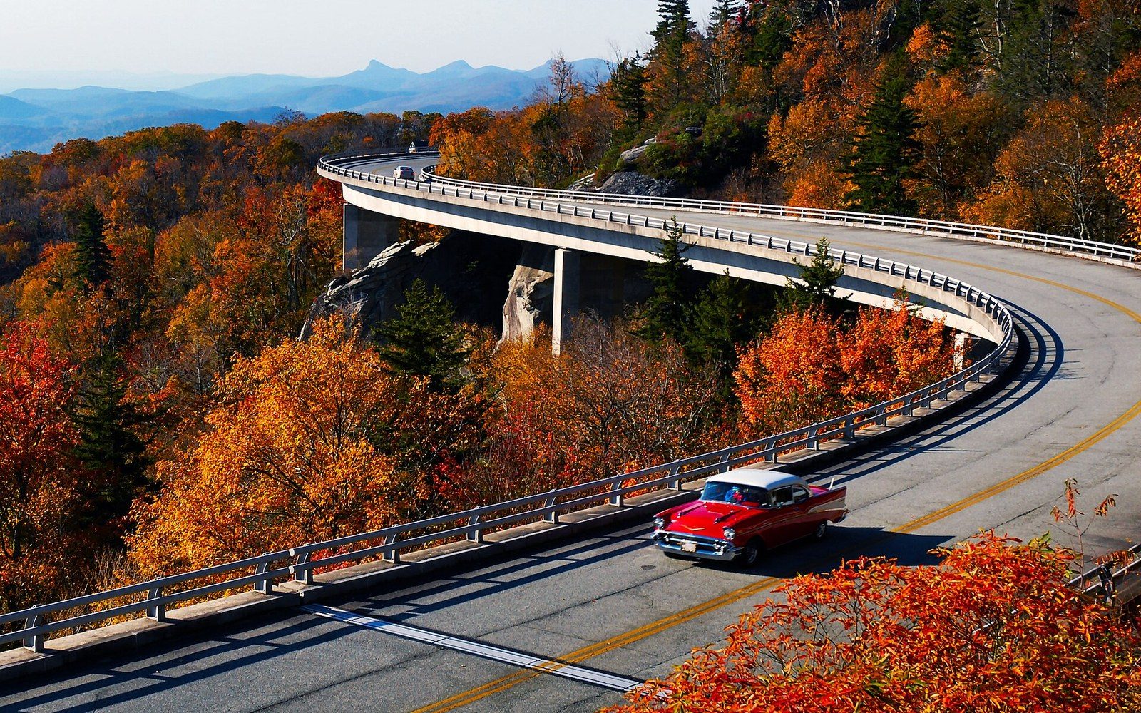
The reverse S-curve at milepost 304.4. Seven piers carry 1,243 feet of deck around the flank of Grandfather Mountain.
Photo: MDB 2658-Linn-Cove-Viaduct-Red-Car-4x3 · Wikimedia CommonsA fifty-two-year detour
The Blue Ridge Parkway was declared substantially complete in 1966, but that declaration came with an asterisk the size of Grandfather Mountain. A seven-mile stretch in the North Carolina high country, curling around the exposed flanks of the mountain between Beacon Heights and US 221, remained unbuilt. The rest of the road had been stitched together across 469 miles from Rockfish Gap in Virginia to the edge of Great Smoky Mountains National Park. This one section stayed open sky.
The gap was not accidental. Grandfather Mountain rises to 5,946 feet along a quartzite spine that is among the oldest exposed rock in the eastern United States. Its owner for much of the twentieth century, Hugh Morton, refused to allow the conventional construction method — cut a haul road, bring in equipment from below, grade the slope, build the bridge — because it would have required stripping vegetated bluffs that could not be revegetated at that altitude. The negotiations between Morton, the National Park Service, and North Carolina state authorities ran for decades, sometimes acrimoniously. The route itself was contested further south at the same time, where the Eastern Band of Cherokee Indians objected to the original alignment through their territory. The Parkway's western end was genuinely unresolved on multiple fronts simultaneously.
What broke the Grandfather Mountain stalemate was not a political compromise but an engineering one. By the late 1970s, segmental bridge construction — in which a bridge is assembled from precast concrete sections, or segments, cantilevered outward from support piers without any falsework below — had matured to the point where it was genuinely applicable here. A bridge could be built from the top down. The mountain below the roadline could be left intact.
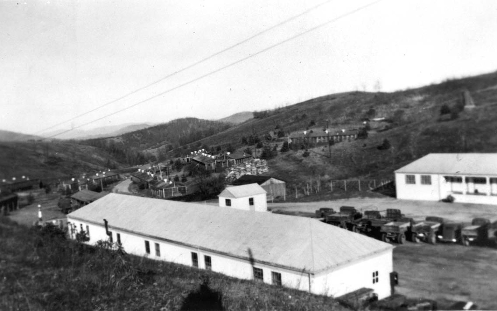
A construction camp in the late 1930s. Barracks, a mess hall and a line of trucks — the road arrived as a payroll first.
Photo: CCC Camp, ca. Late 1930s (76423074-a50c-6aa5-932d-b15c221bb510) · Wikimedia CommonsWhat the viaduct is and how it was made
The Linn Cove Viaduct ↗ carries the Parkway for 1,243 feet around the southeastern flank of Grandfather Mountain at an elevation of roughly 4,100 feet. It was designed by the firm Figg and Muller Engineers — Jean Muller being among the foremost practitioners of segmental concrete bridge design in the world at the time — and it opened on September 11, 1987, completing the Parkway fifty-two years after construction began in 1935.
The structure rests on seven piers, no two of which are identically placed. The viaduct curves through most of its length, and its horizontal geometry — a reverse S-curve — combined with a vertical gradient meant that each of the 153 precast segments is geometrically unique. The segments were cast off-site and transported up the mountain on the roadway that was being built ahead of them, then lowered into place by a specially designed launching gantry that ran on the completed deck. Construction moved from the Beacon Heights end outward toward the final pier, working with the mountain rather than against it.
The piers themselves were placed by helicopter in some phases to avoid disturbing the slope. Below the bridge deck, the mountainside was left essentially uncut ↗: Grandfather Mountain's rhododendron thickets, boulder fields and fragile high-altitude plant communities survive directly underneath a piece of infrastructure. That outcome — the whole point of the exercise — was achieved because the engineering method never required access from below.
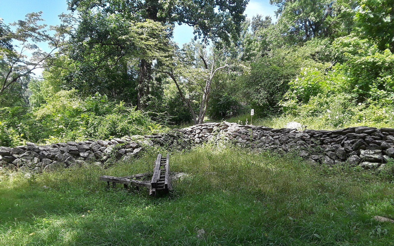
A field wall at Humpback Rocks. The Parkway kept walls like this and built new ones to match them.
Photo: Stone wall, Farm Museum at Humpback Rocks Visitor Center, Blue Ridge Parkway · Wikimedia Commons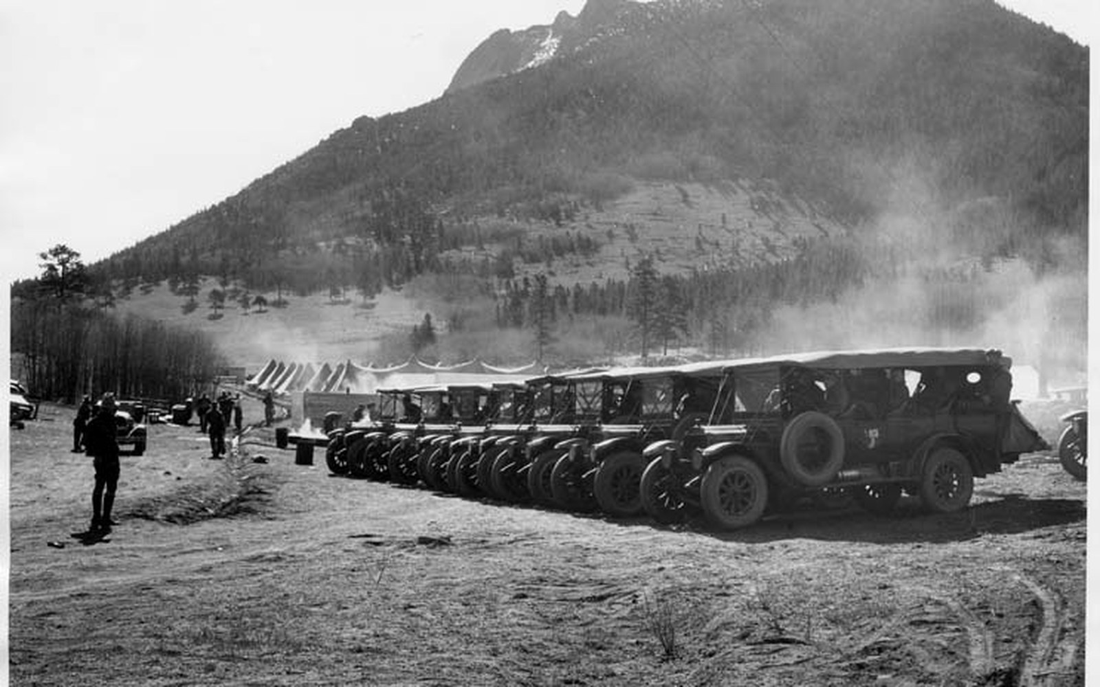
A Civilian Conservation Corps motor pool. Enrollees lived in camps that moved as the line advanced.
Photo: Rocky Mountain National Park, Civilian Conservation Corps workers ready to depart (2) · Wikimedia CommonsThe parapets and guardrails are finished in the same brown-painted steel that runs the length of the Parkway, and the concrete of the segments was formulated and coloured to read as a quiet grey rather than the pale white of standard highway construction. The Parkway's design standards, which govern everything from culvert headwall profiles to mowing widths, were applied here as rigorously as anywhere on the road. The viaduct looks like it belongs. That was deliberate.
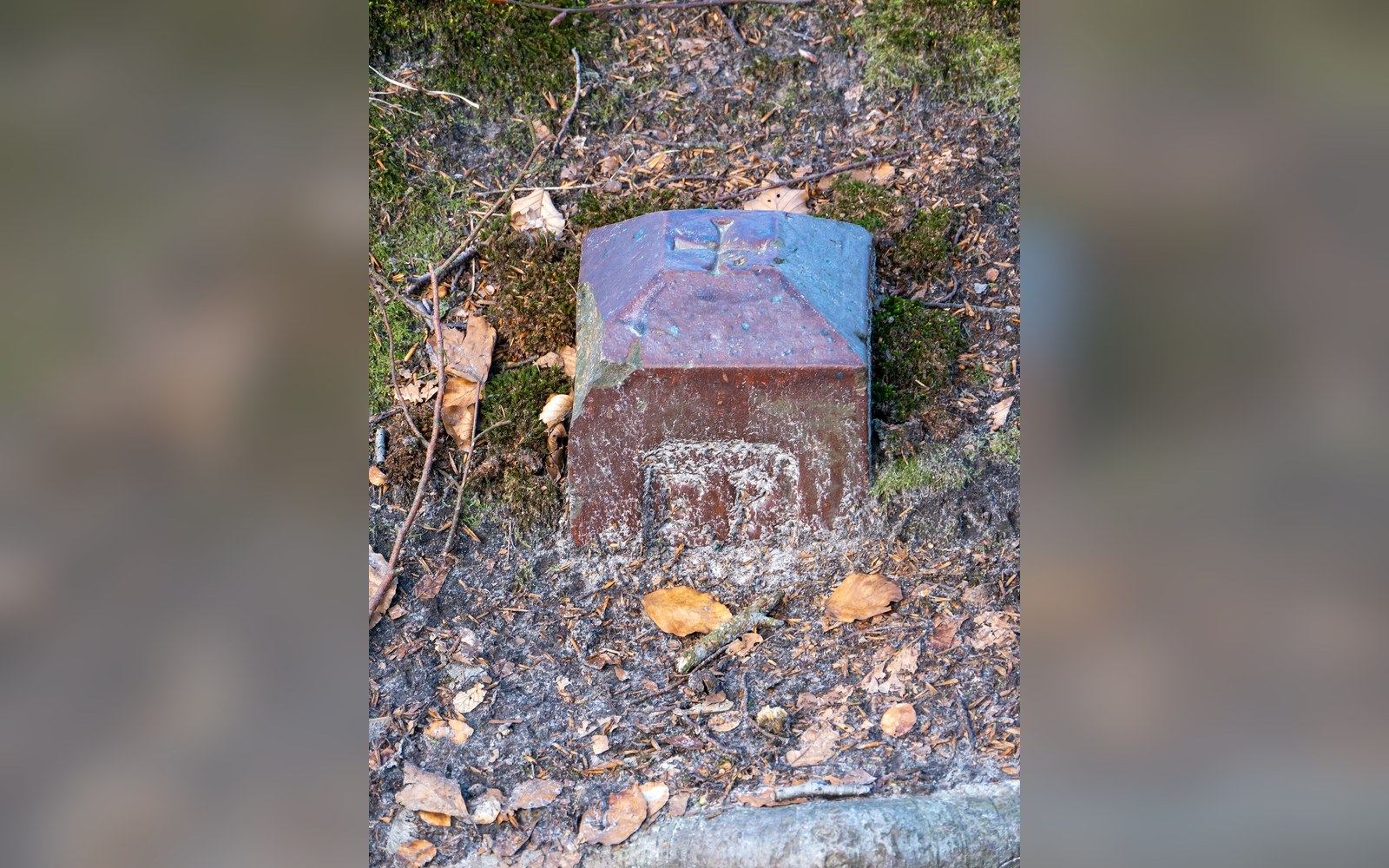
A survey marker. Where the line finally fell was settled on paper years before it was cut into ground.
Photo: Marker, Binz (P1090698) · Wikimedia CommonsThe last piece and what it means for the whole
The Parkway's construction history runs from 1935 through to that 1987 opening, and the Linn Cove Viaduct is the reason the later date exists. Every other significant structure on the road — the stone-faced tunnel portals, the masonry culverts, the overlook walls built by Civilian Conservation Corps labour in the 1930s and 1940s — was constructed under an essentially conventional programme: clear the line, bring in material, build. The viaduct required the opposite logic, and it arrived only when bridge engineering had caught up with what the site demanded.
That gap in the timeline is worth sitting with. The Parkway passed through a national park's worth of landscape, negotiated with private landowners, displaced communities, and threaded through some of the most technically difficult terrain in the southern Appalachians — and it was stopped, for the better part of two decades in practical terms, by one mountain and one man's refusal to let it be treated like ordinary ground. Morton's position was not simply obstructionist; he was right that conventional construction would have caused permanent damage. The engineering solution vindicated his resistance.
The American Society of Civil Engineers recognised the Linn Cove Viaduct as an outstanding civil engineering achievement in the year of its opening, which is a measure of how unusual the construction method still was in 1987 for a project of this scale in a mountain environment. Segmental construction had been used on longer bridges over water; using it to preserve a specific mountainside was a different application of the same principle, and it remains the cleanest example of what the technique can accomplish when the site, rather than the schedule, drives the engineering.
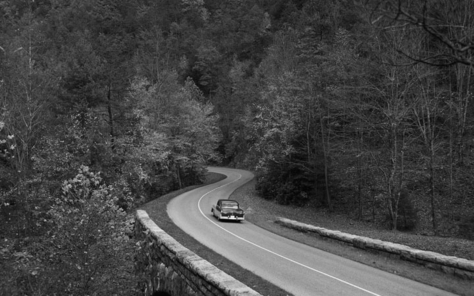
Dry-laid stone at the Humpback Rocks farm museum. Parkway masonry was specified to look older than the road it belongs to.
Photo: BLRI 58-JB-1055 · Wikimedia CommonsFrom the road, the viaduct is experienced almost subliminally. Approaching from the south, the traveller rounds a curve and is suddenly on it — the rock falls away to the left, and there is a brief corridor of open air before the mountain closes in again at Beacon Heights. It takes less than a minute to cross at Parkway speeds. The rhododendron and the quartzite bluffs below are intact. The view from the overlook at the south end shows the whole structure: seven piers, that long S-curve, the cantilevered deck reading as a thin horizontal line against the mountain's flank. It does not look like a compromise. It looks like it was always there.
More in The Build