The Build / Fifty-two years of construction
A route that had to be argued over
The alignment through western North Carolina was disputed for years, including with the Eastern Band of Cherokee Indians, and the final line reflects that.
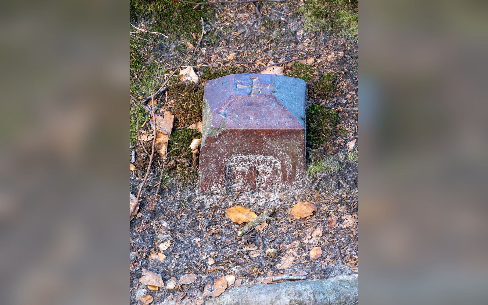
A survey marker. Where the line finally fell was settled on paper years before it was cut into ground.
Photo: Marker, Binz (P1090698) · Wikimedia CommonsThe Parkway's line through western North Carolina was not drawn cleanly. It was negotiated, contested and in places fought over for years before a final alignment emerged.
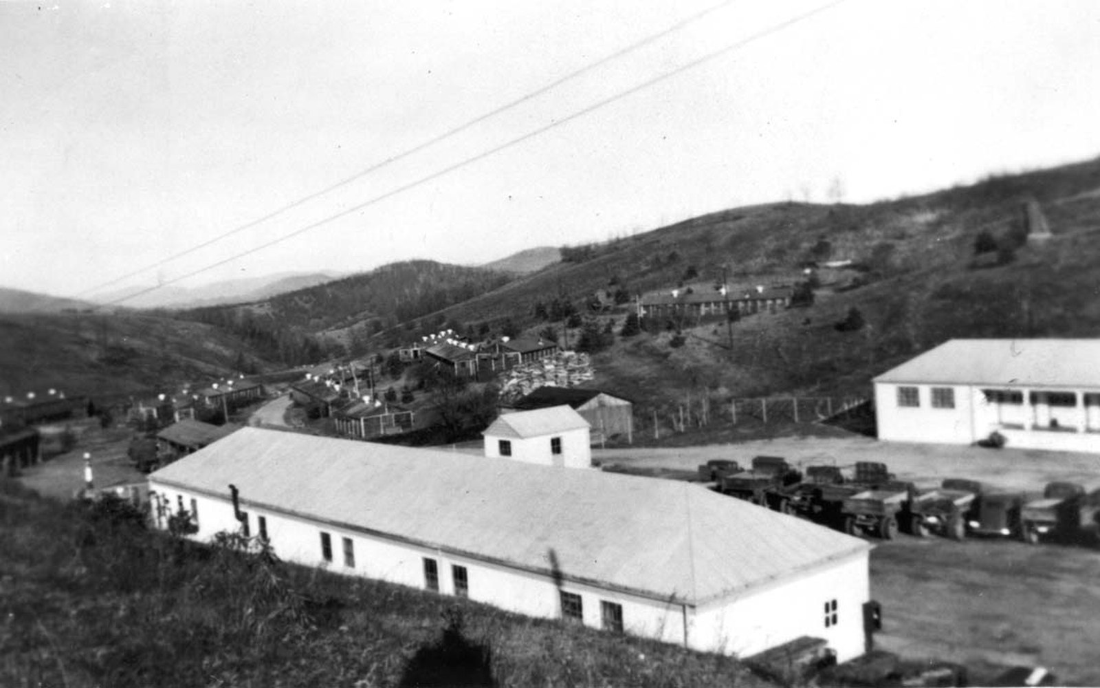
A construction camp in the late 1930s. Barracks, a mess hall and a line of trucks — the road arrived as a payroll first.
Photo: CCC Camp, ca. Late 1930s (76423074-a50c-6aa5-932d-b15c221bb510) · Wikimedia CommonsThe Dispute Was Always About Whose Land the Road Would Cross
When planners began threading the Blue Ridge Parkway southward from Virginia in the mid-1930s, the northern sections were difficult enough — acquiring scenic easements over private farmland, persuading reluctant owners, working out what "view protection" actually meant in legal terms. But western North Carolina introduced a different order of complication. The terrain is more extreme, the ridgelines less continuous, and the political geography considerably more tangled. The result was a protracted argument about where, precisely, the road should run — an argument that involved state highway departments, the National Park Service, private landowners and, most significantly, the Eastern Band of Cherokee Indians.
The Eastern Band hold land in the Qualla Boundary, a territory in the southwestern corner of North Carolina that represents the homeland of those Cherokee who remained in the mountains after the forced removals of 1838. When Parkway planners proposed routing the southern terminus through or adjacent to Cherokee land, the Band's position was not simply one of passive landowner waiting to be consulted. They were a sovereign nation dealing with the federal government on a nation-to-nation basis, and the negotiations over the road's alignment through their territory were correspondingly complex. The federal government's trust responsibility to the Eastern Band added a legal layer that ordinary scenic-easement negotiations simply did not involve.
The Parkway's southern end near Cherokee, where the road meets US 441 and the entrance to Great Smoky Mountains National Park ↗, reflects this negotiated outcome. The final alignment was adjusted across successive planning cycles, and what was eventually built is not quite what any single party originally proposed. The road arrives at the park boundary at a point that works for traffic and for the geometry of the terrain, but getting to that point required compromises on all sides.
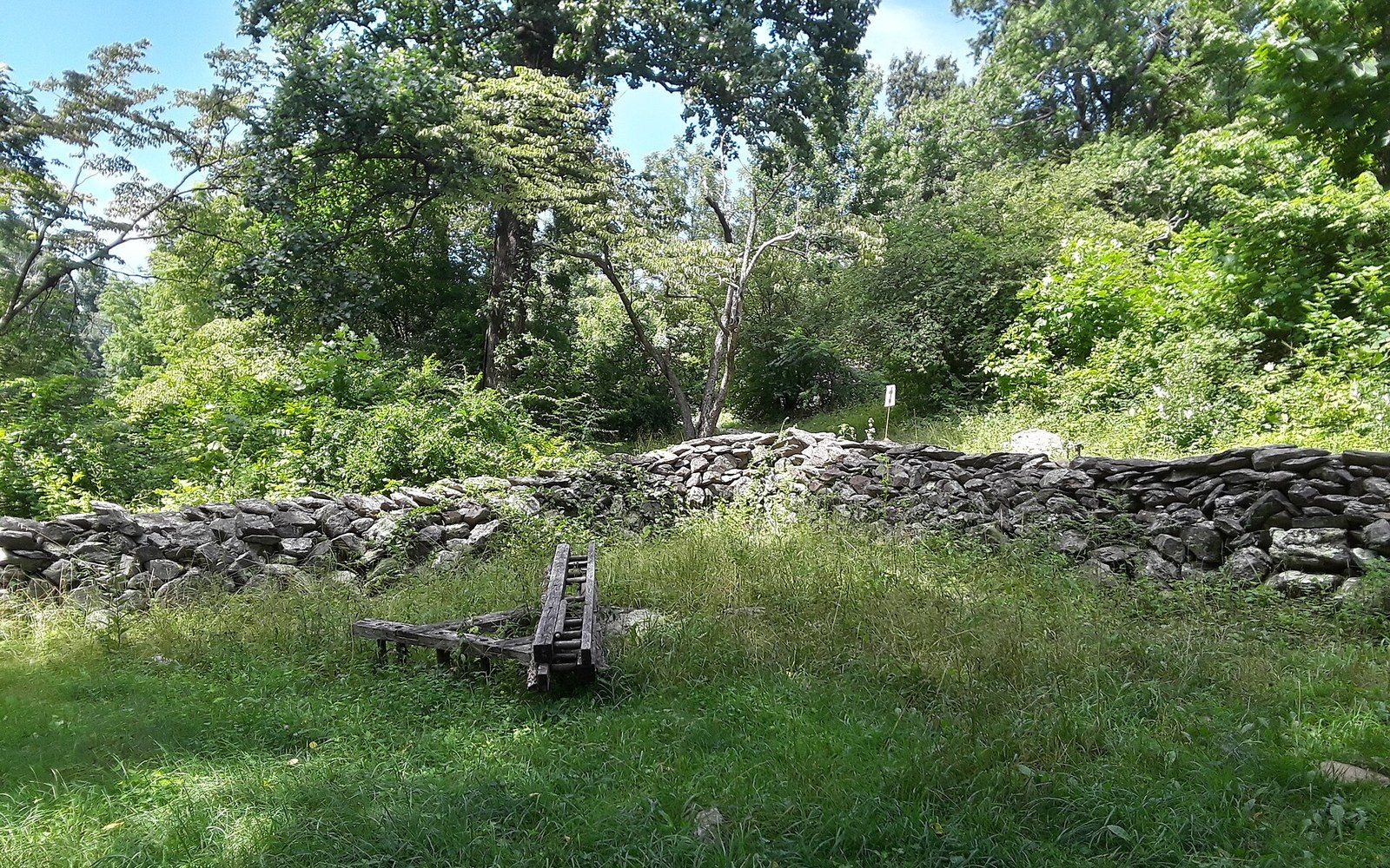
A field wall at Humpback Rocks. The Parkway kept walls like this and built new ones to match them.
Photo: Stone wall, Farm Museum at Humpback Rocks Visitor Center, Blue Ridge Parkway · Wikimedia CommonsThe Middle Sections Were Fought Over Differently
Further north, through the high country north and east of Asheville, a different set of disputes played out. Grandfather Mountain was the most famous flashpoint. Its owner resisted the National Park Service's preferred alignment for decades, arguing that the route as planned would damage the mountain's ecology and his family's management of it as a private nature preserve. The standoff lasted so long that Grandfather Mountain became the last significant gap in the Parkway's continuity — the section around it was simply left unbuilt while negotiations dragged on.
The resolution, when it finally came, produced one of the road's most remarkable structures. Rather than cutting a conventional roadbed through the mountain's fragile slopes, engineers designed the Linn Cove Viaduct, a segmental concrete bridge that curves for 1,243 feet around the flank of Grandfather Mountain, carrying the road without a haul road beneath it. Construction was completed in 1987, closing the last gap in a project begun in 1935. The viaduct is the physical record of an argument: its unusual method of construction, built from above using precast segments, exists precisely because a straight-forward earthworks approach was ruled out by the terms of the settlement.
Craggy Gardens, by contrast, was absorbed into the route with less friction, largely because the land there was already within federal jurisdiction. But even stretches that look inevitable on the map had to be surveyed, argued over by competing state and federal interests, and occasionally rerouted when an original line proved politically or physically impossible.
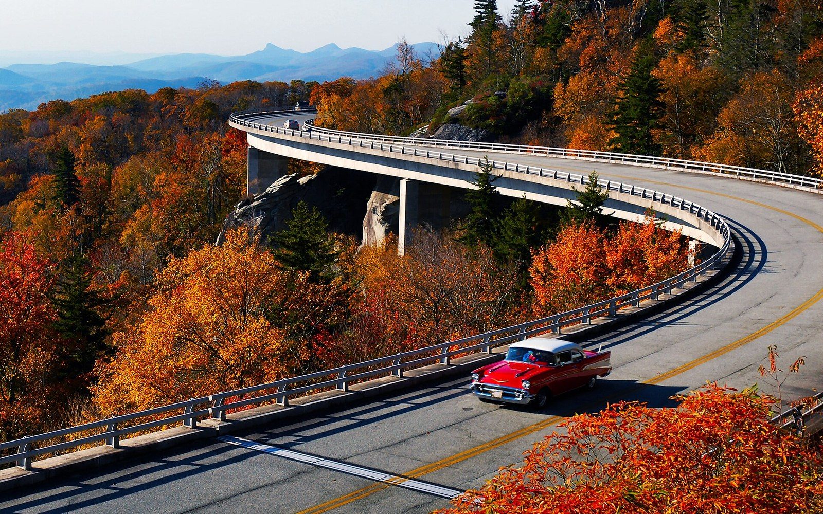
The reverse S-curve at milepost 304.4. Seven piers carry 1,243 feet of deck around the flank of Grandfather Mountain.
Photo: MDB 2658-Linn-Cove-Viaduct-Red-Car-4x3 · Wikimedia CommonsWhat the Argument Produced
The disputes left their mark on the road's character as much as any design rule. Where negotiations forced the alignment onto higher ground, the views opened up in ways that a more direct line might have missed. Where resistance pushed the road around a feature rather than through it, structures appeared that became the Parkway's most admired engineering. The 469-mile route carries the fingerprints of every disagreement: a curve that bends away from someone's objection, a viaduct that exists because a family said no, a southern terminus shaped by sovereignty as much as topography. The road looks the way it does partly because it could not always go where its designers first intended.
More in The Build